 Warner Robins
Wantagh
Bethel
Misty Hill Farm
United States
Wakonda Beach (R33) Airport
Wilmington
Poland
Miami International Airport
Warner Robins
Wantagh
Bethel
Misty Hill Farm
United States
Wakonda Beach (R33) Airport
Wilmington
Poland
Miami International Airport
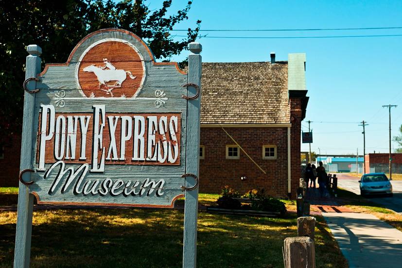
Pony Express National Museum on the map, Saint Joseph, United States
Photo
Where is located Pony Express National Museum
Pony Express National Museum — local attraction, which is located at 914 Penn St, St Joseph, MO 64503, United States and belongs to the category — museum. Average visitor rating for this place — 4.6 (according to 545 ratings, information from open sources and relevant for 2022).
Exact location — Pony Express National Museum, marked on the map with a red marker.
You can get directions to Pony Express National Museum on the map from your location.
What else is interesting in Saint Joseph? You can see all the sights if you go to the city page.
Coordinates
Pony Express National Museum, United States coordinates in decimal format: latitude — 39.75595126316412, longitude — -94.84884377507466. When converted to degrees, minutes, seconds Pony Express National Museum has the following coordinates: 39°45′21.42 north latitude and -94°50′55.84 east longitude.
Nearby cities
The largest cities that are located nearby:
- North Kansas City — 73 km
- Kansas City — 77 km
- Independence — 83 km
- Overland Park — 88 km
- Olathe — 98 km
- Topeka — 107 km
- Omaha — 190 km
- Lincoln — 193 km
- Des Moines — 227 km
- Springfield — 314 km
- Wichita — 317 km
- Tulsa — 412 km
- Saint Louis — 421 km
- Sioux Falls — 444 km
- Peoria — 452 km
- Oklahoma City — 533 km
- Rockford — 546 km
- Norman — 554 km
- Madison — 572 km
Distance to the capital
Distance to the capital (Washington) is about — 1533 km.