 Warner Robins
Wantagh
Bethel
Misty Hill Farm
United States
Wakonda Beach (R33) Airport
Wilmington
Poland
Miami International Airport
Warner Robins
Wantagh
Bethel
Misty Hill Farm
United States
Wakonda Beach (R33) Airport
Wilmington
Poland
Miami International Airport
Moccasin Bend National Archeological District on the map, Chattanooga, United States
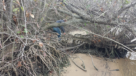
Photo
Where is located Moccasin Bend National Archeological District
Moccasin Bend National Archeological District — local attraction, which is located at 301 Manufacturers Rd, Chattanooga, TN 37405, United States and belongs to the category — national park. Average visitor rating for this place — 4.0 (according to 24 ratings, information from open sources and relevant for 2022).
Exact location — Moccasin Bend National Archeological District, marked on the map with a red marker.
You can get directions to Moccasin Bend National Archeological District on the map from your location.
What else is interesting in Chattanooga? You can see all the sights if you go to the city page.
Coordinates
Moccasin Bend National Archeological District, United States coordinates in decimal format: latitude — 35.052984357515115, longitude — -85.32872067520888. When converted to degrees, minutes, seconds Moccasin Bend National Archeological District has the following coordinates: 35°3′10.74 north latitude and -85°19′43.39 east longitude.
Nearby cities
The largest cities that are located nearby:
- Huntsville — 121 km
- Knoxville — 160 km
- Atlanta — 167 km
- Nashville — 180 km
- Birmingham — 218 km
- Clarksville — 245 km
- Montgomery — 310 km
- Louisville — 357 km
- Evansville — 379 km
- Charlotte — 404 km
- Columbia — 409 km
- Memphis — 429 km
- Cincinnati — 454 km
- Winston-Salem — 467 km
- Greensboro — 506 km
- Savannah — 513 km
- Tallahassee — 519 km
- Indianapolis — 527 km
- Mobile — 547 km
Distance to the capital
Distance to the capital (Washington) is about — 852 km.