 Lavina
Roswell
Natick
Fernandina Beach
Maitland
Lehi
West Jordan
Hartford
Lake Forest
Sykesville
Ocean City
Saint Anthony
Laguna Beach
Aberdeen
Edgewater
Jessup
Owings Mills
Madison
Dunkirk
Lavina
Roswell
Natick
Fernandina Beach
Maitland
Lehi
West Jordan
Hartford
Lake Forest
Sykesville
Ocean City
Saint Anthony
Laguna Beach
Aberdeen
Edgewater
Jessup
Owings Mills
Madison
Dunkirk
Chattanooga on the map, United States
Where is located Chattanooga
Exact location — Chattanooga, Hamilton County, Tennessee, United States, marked on the map with a red marker.
Coordinates
Chattanooga, United States coordinates in decimal format: latitude — 35.0456297, longitude — -85.3096801. When converted to degrees, minutes, seconds Chattanooga has the following coordinates: 35°2′44.27 north latitude and -85°18′34.85 east longitude.
Population
Chattanooga, Hamilton County, Tennessee, United States, according to our data the population is — 154,024 residents, which is about 0% of the total population of the country (United States).
Comparison of the population on the graph:
Exact time
Time zone for this location Chattanooga — UTC -4 America/New_York. Exact time — friday, 4 april 2024 year, 05 h. 14 minutes.
Sunrise and sunset
Chattanooga, sunrise and sunset data for a date — friday 26.04.2024.
| Sunrise | Sunset | Day (duration) |
|---|---|---|
| 06:57 -1 minute | 20:20 +1 minute | 13 h. 24 minutes. +2 minutes |
You can control the scale of the map using the auxiliary tools to find out exactly where it is located Chattanooga. When you change the scale of the map, the width of the ruler also changes (in kilometers and miles).
Nearby cities
The largest cities that are located nearby:
- Huntsville — 121 km
- Knoxville — 160 km
- Atlanta — 167 km
- Nashville — 180 km
- Birmingham — 218 km
- Clarksville — 245 km
- Montgomery — 310 km
- Louisville — 357 km
- Evansville — 379 km
- Charlotte — 404 km
- Columbia — 409 km
- Memphis — 429 km
- Cincinnati — 454 km
- Winston-Salem — 467 km
- Greensboro — 506 km
- Savannah — 513 km
- Tallahassee — 519 km
- Indianapolis — 527 km
- Mobile — 547 km
Distance to neighboring capitals:
- Ottawa
 (Canada) — 1411 km
 - Belmopan
 (Belize) — 2009 km
 - Mexico City
 (Mexico) — 2205 km
 - Guatemala City
 (Guatemala) — 2332 km
 - Nuuk
 (Greenland) — 3949 km
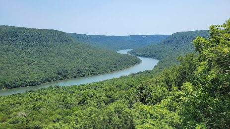
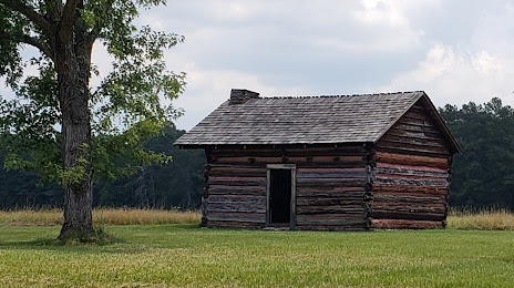
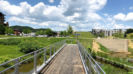
Attractions


Distance to the capital
Distance to the capital (Washington) is about — 851 km.