 Middletown
Libertyville
Clay
Cassville
Riverton
Mount Vernon
Norwalk
Boyce
Dahlonega
Hoopeston
Methuen
Whitewater
Winterville
North Augusta
Chattanooga
Helena
West Yellowstone
Clark County
Grand Rivers
Middletown
Libertyville
Clay
Cassville
Riverton
Mount Vernon
Norwalk
Boyce
Dahlonega
Hoopeston
Methuen
Whitewater
Winterville
North Augusta
Chattanooga
Helena
West Yellowstone
Clark County
Grand Rivers
Maitland on the map, United States
Where is located Maitland
Exact location — Maitland, Orange County, Florida, United States, marked on the map with a red marker.
Coordinates
Maitland, United States coordinates in decimal format: latitude — 28.6277767, longitude — -81.3631244. When converted to degrees, minutes, seconds Maitland has the following coordinates: 28°37′40 north latitude and -81°21′47.25 east longitude.
Population
Maitland, Orange County, Florida, United States, according to our data the population is — 11,686 residents, which is about 0% of the total population of the country (United States).
Comparison of the population on the graph:
Exact time
Time zone for this location Maitland — UTC -4 America/New_York. Exact time — friday, 4 april 2024 year, 15 h. 09 minutes.
Sunrise and sunset
Maitland, sunrise and sunset data for a date — friday 26.04.2024.
| Sunrise | Sunset | Day (duration) |
|---|---|---|
| 06:50 -1 minute | 19:55 +1 minute | 13 h. 6 minutes. +2 minutes |
You can control the scale of the map using the auxiliary tools to find out exactly where it is located Maitland. When you change the scale of the map, the width of the ruler also changes (in kilometers and miles).
Nearby cities
The largest cities that are located nearby:
- Orlando — 10 km
- Brandon — 118 km
- Tampa — 130 km
- Gainesville — 146 km
- Saint Petersburg — 157 km
- Clearwater — 158 km
- Port Saint Lucie — 179 km
- Jacksonville — 190 km
- Cape Coral — 236 km
- Coral Springs — 282 km
- Fort Lauderdale — 303 km
- Pembroke Pines — 308 km
- Miramar — 310 km
- Hollywood — 313 km
- Hialeah — 325 km
- Miami — 338 km
- Tallahassee — 343 km
- Savannah — 383 km
- Charleston — 478 km
Distance to neighboring capitals:
- Belmopan
 (Belize) — 1474 km
 - Guatemala City
 (Guatemala) — 1823 km
 - Ottawa
 (Canada) — 1933 km
 - Mexico City
 (Mexico) — 2071 km
 - Nuuk
 (Greenland) — 4473 km
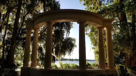
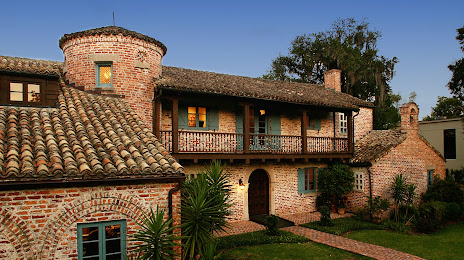
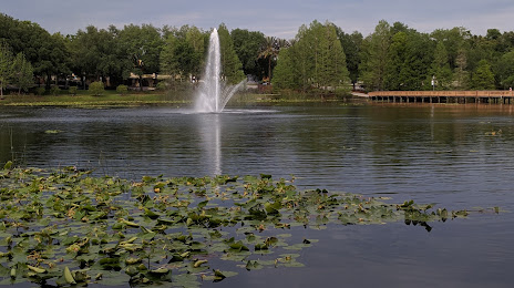
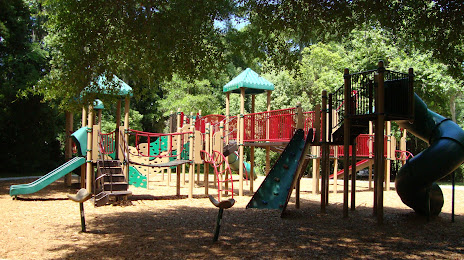
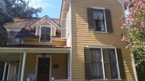
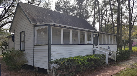
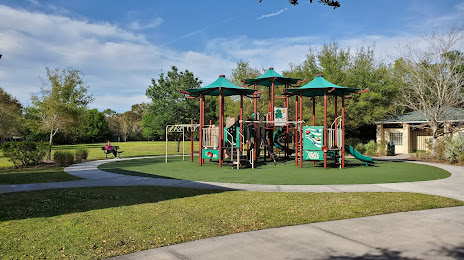
Attractions


Distance to the capital
Distance to the capital (Washington) is about — 1211 km.