 Warner Robins
Wantagh
Bethel
Misty Hill Farm
United States
Wakonda Beach (R33) Airport
Wilmington
Poland
Miami International Airport
Warner Robins
Wantagh
Bethel
Misty Hill Farm
United States
Wakonda Beach (R33) Airport
Wilmington
Poland
Miami International Airport
St. James Farm Forest Preserve on the map, Carol Stream, United States
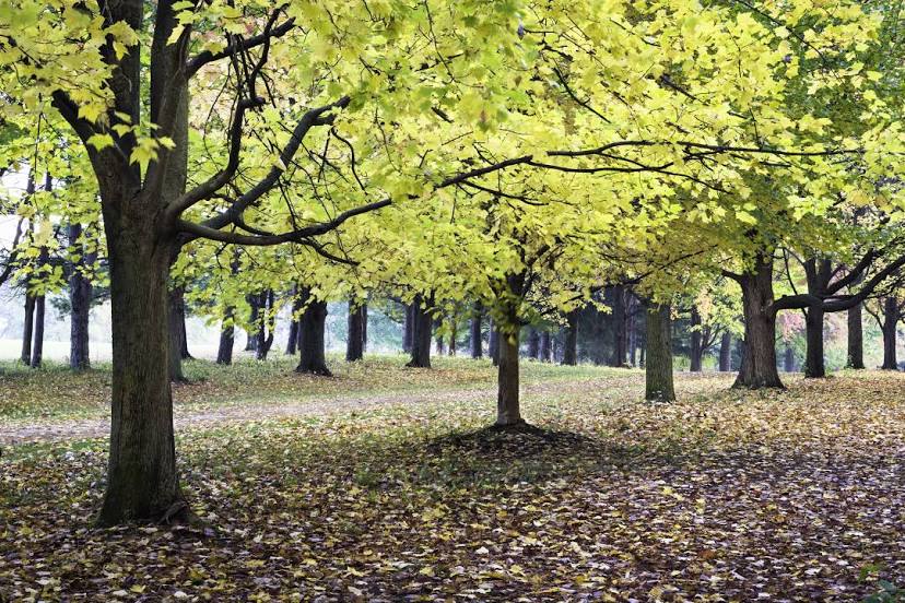
Photo
Where is located St. James Farm Forest Preserve
St. James Farm Forest Preserve — local attraction, which is located at 2S541 Winfield Rd, Warrenville, IL 60555, United States and belongs to the category — nature preserve. Average visitor rating for this place — 4.7 (according to 615 ratings, information from open sources and relevant for 2022).
Exact location — St. James Farm Forest Preserve, marked on the map with a red marker.
You can get directions to St. James Farm Forest Preserve on the map from your location.
What else is interesting in Carol Stream? You can see all the sights if you go to the city page.
Coordinates
St. James Farm Forest Preserve, United States coordinates in decimal format: latitude — 41.83311400643693, longitude — -88.1626774750109. When converted to degrees, minutes, seconds St. James Farm Forest Preserve has the following coordinates: 41°49′59.21 north latitude and -88°9′45.64 east longitude.
Nearby cities
The largest cities that are located nearby:
- Naperville — 18 km
- Aurora — 23 km
- Chicago — 42 km
- Joliet — 43 km
- Rockford — 88 km
- Milwaukee — 126 km
- South Bend — 158 km
- Madison — 164 km
- Peoria — 182 km
- Grand Rapids — 231 km
- Fort Wayne — 266 km
- Green Bay — 288 km
- Indianapolis — 291 km
- Lansing — 304 km
- Ann Arbor — 362 km
- Toledo — 379 km
- Flint — 380 km
- Saint Louis — 405 km
- Detroit — 419 km
Distance to the capital
Distance to the capital (Washington) is about — 996 km.