 Warner Robins
Wantagh
Bethel
Misty Hill Farm
United States
Wakonda Beach (R33) Airport
Wilmington
Poland
Miami International Airport
Warner Robins
Wantagh
Bethel
Misty Hill Farm
United States
Wakonda Beach (R33) Airport
Wilmington
Poland
Miami International Airport
Santa Fe National Forest on the map, Los Alamos, United States
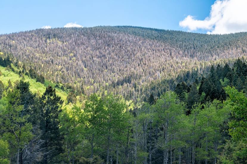
Photo
Where is located Santa Fe National Forest
Santa Fe National Forest — local attraction, which is located at Los Alamos, NM 87544, United States and belongs to the category — national forest. Average visitor rating for this place — 4.8 (according to 4151 rating, information from open sources and relevant for 2022).
Exact location — Santa Fe National Forest, marked on the map with a red marker.
You can get directions to Santa Fe National Forest on the map from your location.
What else is interesting in Los Alamos? You can see all the sights if you go to the city page.
Coordinates
Santa Fe National Forest, United States coordinates in decimal format: latitude — 35.89065050428639, longitude — -106.29210321738148. When converted to degrees, minutes, seconds Santa Fe National Forest has the following coordinates: 35°53′26.34 north latitude and -106°17′31.57 east longitude.
Nearby cities
The largest cities that are located nearby:
- Albuquerque — 92 km
- Valencia — 125 km
- Pueblo — 301 km
- Colorado Springs — 351 km
- Amarillo — 410 km
- Lakewood — 435 km
- Denver — 441 km
- Aurora — 444 km
- Arvada — 446 km
- Westminster — 450 km
- El Paso — 454 km
- Thornton — 455 km
- Ciudad Juarez
 (Mexico) — 463 km
 - Lubbock — 482 km
- Fort Collins — 530 km
- Mesa — 578 km
- Gilbert — 579 km
- Scottsdale — 582 km
- Chandler — 586 km
Distance to the capital
Distance to the capital (Washington) is about — 2595 km.