 Kirkwood
Llano
Abilene
Horton
Southport
Hamden
Delmont
Marine City
Durant
Hampshire
El Campo
Broussard
Saint Rose
Windber
Hutto
Murrieta
Port Allen
Aubrey
Merritt Island
Kirkwood
Llano
Abilene
Horton
Southport
Hamden
Delmont
Marine City
Durant
Hampshire
El Campo
Broussard
Saint Rose
Windber
Hutto
Murrieta
Port Allen
Aubrey
Merritt Island
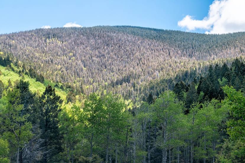
Los Alamos on the map, United States
Where is located Los Alamos
Exact location — Los Alamos, Los Alamos County, New Mexico, United States, marked on the map with a red marker.
Coordinates
Los Alamos, United States coordinates in decimal format: latitude — 35.8800364, longitude — -106.3031138. When converted to degrees, minutes, seconds Los Alamos has the following coordinates: 35°52′48.13 north latitude and -106°18′11.21 east longitude.
Population
Los Alamos, Los Alamos County, New Mexico, United States, according to our data the population is — 11,761 residents, which is about 0% of the total population of the country (United States).
Comparison of the population on the graph:
Exact time
Time zone for this location Los Alamos — UTC -6 America/Denver. Exact time — friday, 4 april 2024 year, 13 h. 01 minute.
Sunrise and sunset
Los Alamos, sunrise and sunset data for a date — friday 26.04.2024.
| Sunrise | Sunset | Day (duration) |
|---|---|---|
| 06:20 -1 minute | 19:45 +1 minute | 13 h. 24 minutes. +2 minutes |
You can control the scale of the map using the auxiliary tools to find out exactly where it is located Los Alamos. When you change the scale of the map, the width of the ruler also changes (in kilometers and miles).
Nearby cities
The largest cities that are located nearby:
- Albuquerque — 92 km
- Valencia — 125 km
- Pueblo — 301 km
- Colorado Springs — 351 km
- Amarillo — 410 km
- Lakewood — 435 km
- Denver — 441 km
- Aurora — 444 km
- Arvada — 446 km
- Westminster — 450 km
- El Paso — 454 km
- Thornton — 455 km
- Ciudad Juarez
 (Mexico) — 463 km
 - Lubbock — 482 km
- Fort Collins — 530 km
- Mesa — 578 km
- Gilbert — 579 km
- Scottsdale — 582 km
- Chandler — 586 km
Distance to neighboring capitals:
- Mexico City (Mexico) — 1959 km
- Belmopan
 (Belize) — 2699 km
 - Ottawa
 (Canada) — 2771 km
 - Guatemala City
 (Guatemala) — 2839 km
 - Nuuk
 (Greenland) — 4775 km
Attractions


Distance to the capital
Distance to the capital (Washington) is about — 2597 km.