 Warner Robins
Wantagh
Bethel
Misty Hill Farm
United States
Wakonda Beach (R33) Airport
Wilmington
Poland
Miami International Airport
Warner Robins
Wantagh
Bethel
Misty Hill Farm
United States
Wakonda Beach (R33) Airport
Wilmington
Poland
Miami International Airport
Stephenson Island on the map, Marinette, United States
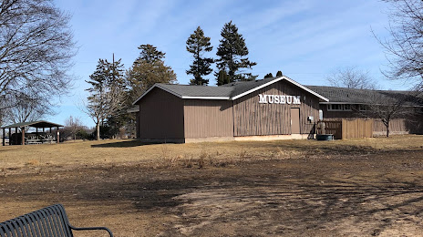
Photo
Where is located Stephenson Island
Stephenson Island — local attraction, which is located at no data and belongs to the category — -. Average visitor rating for this place — 4.2 (according to 5 ratings, information from open sources and relevant for 2022).
Exact location — Stephenson Island, marked on the map with a red marker.
You can get directions to Stephenson Island on the map from your location.
What else is interesting in Marinette? You can see all the sights if you go to the city page.
Coordinates
Stephenson Island, United States coordinates in decimal format: latitude — 45.101654886342466, longitude — -87.62978860543815. When converted to degrees, minutes, seconds Stephenson Island has the following coordinates: 45°6′5.96 north latitude and -87°37′47.24 east longitude.
Nearby cities
The largest cities that are located nearby:
- Green Bay — 71 km
- Milwaukee — 229 km
- Madison — 266 km
- Grand Rapids — 285 km
- Rockford — 335 km
- Chicago — 356 km
- Lansing — 362 km
- Naperville — 373 km
- Aurora — 374 km
- Flint — 394 km
- South Bend — 395 km
- Joliet — 397 km
- Saint Paul — 427 km
- Minneapolis — 441 km
- Ann Arbor — 445 km
- Sterling Heights — 467 km
- Warren — 472 km
- Detroit — 484 km
- Windsor
 (Canada) — 486 km
Distance to the capital
Distance to the capital (Washington) is about — 1113 km.