
 Egmond aan Zee
Emmeloord
Berg en Terblijt
Enschede
Bussum
Assen
Boxmeer
Den Helder
Almere
Rotterdam
Haren
Maarssenbroek
Bergen op Zoom
Amsterdam
Deventer
Annen
Asten
Egmond aan Zee
Emmeloord
Berg en Terblijt
Enschede
Bussum
Assen
Boxmeer
Den Helder
Almere
Rotterdam
Haren
Maarssenbroek
Bergen op Zoom
Amsterdam
Deventer
Annen
Asten
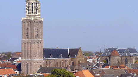
Zwolle on the map, Netherlands
Where is located Zwolle
Exact location — Zwolle, Zwolle, Overijssel, Netherlands, marked on the map with a red marker.
Coordinates
Zwolle, Netherlands coordinates in decimal format: latitude — 52.5167747, longitude — 6.0830219. When converted to degrees, minutes, seconds Zwolle has the following coordinates: 52°31′0.39 north latitude and 6°4′58.88 east longitude.
Population
Zwolle, Zwolle, Overijssel, Netherlands, according to our data the population is — 114,924 residents, which is about 0.7% of the total population of the country (Netherlands).
Comparison of the population on the graph:
Exact time
Time zone for this location Zwolle — UTC +2 Europe/Amsterdam. Exact time — sunday, 5 may 2024 year, 18 h. 08 minutes.
Sunrise and sunset
Zwolle, sunrise and sunset data for a date — sunday 19.05.2024.
| Sunrise | Sunset | Day (duration) |
|---|---|---|
| 05:37 -1 minute | 21:27 +2 minutes | 15 h. 48 minutes. +3 minutes |
You can control the scale of the map using the auxiliary tools to find out exactly where it is located Zwolle. When you change the scale of the map, the width of the ruler also changes (in kilometers and miles).
Nearby cities
The largest cities that are located nearby:
- Apeldoorn — 35 km
- Almere — 58 km
- Ede — 60 km
- Arnhem — 60 km
- Amersfoort — 62 km
- Emmen — 62 km
- Enschede — 64 km
- Nijmegen — 80 km
- Utrecht — 81 km
- Groningen — 84 km
- Hoofddorp — 97 km
- Haarlem — 98 km
- 's-Hertogenbosch — 105 km
- Leiden — 115 km
- Zoetermeer — 119 km
- Münster
 (Germany) — 122 km
 - Dordrecht — 123 km
- Moers (Germany) — 124 km
- Bottrop (Germany) — 124 km
Distance to neighboring capitals:
- Brussels
 (Belgium) — 220 km
 - Paris
 (France) — 484 km
 - Berlin (Germany) — 495 km
- Copenhagen
 (Denmark) — 550 km
 - Bern
 (Switzerland) — 627 km
 - Prague
 (Czech Republic) — 641 km
 - Vienna
 (Austria) — 872 km
 - Warsaw
 (Poland) — 1012 km
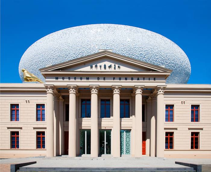
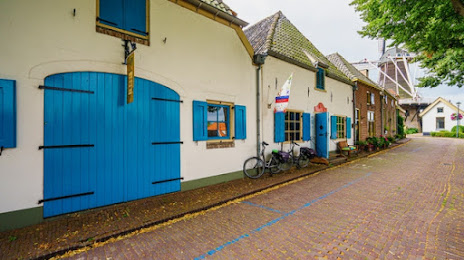
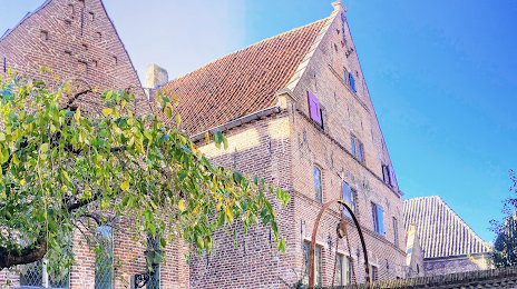
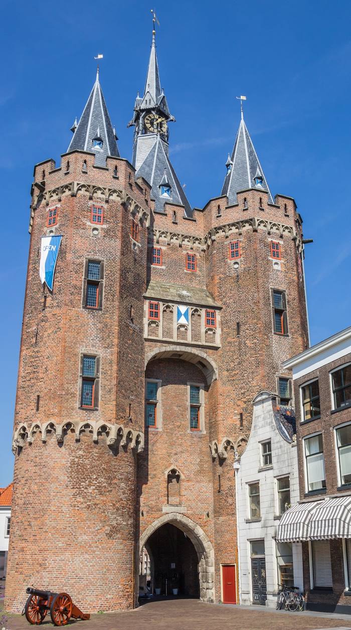
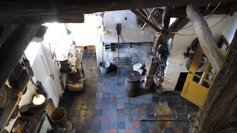
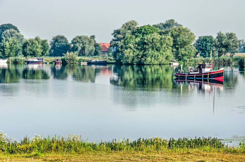
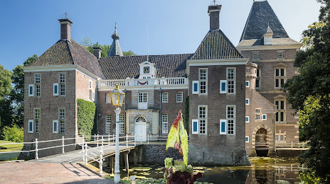
Attractions


Distance to the capital
Distance to the capital (Amsterdam) is about — 82 km.