
 Spijkenisse
Bunnik
Bolsward
Nijmegen
Katwijk
Breda
Hengelo
Almelo
Haaksbergen
Valkenswaard
Apeldoorn
Amstelveen
Bladel
Zoetermeer
Holten
Zwolle
Tilburg
Zaandam
Vlaardingen
Spijkenisse
Bunnik
Bolsward
Nijmegen
Katwijk
Breda
Hengelo
Almelo
Haaksbergen
Valkenswaard
Apeldoorn
Amstelveen
Bladel
Zoetermeer
Holten
Zwolle
Tilburg
Zaandam
Vlaardingen
Assen on the map, Netherlands
Where is located Assen
Exact location — Assen, Assen, Drenthe, Netherlands, marked on the map with a red marker.
Coordinates
Assen, Netherlands coordinates in decimal format: latitude — 52.992753, longitude — 6.5642284. When converted to degrees, minutes, seconds Assen has the following coordinates: 52°59′33.91 north latitude and 6°33′51.22 east longitude.
Population
Assen, Assen, Drenthe, Netherlands, according to our data the population is — 62,237 residents, which is about 0.4% of the total population of the country (Netherlands).
Comparison of the population on the graph:
Exact time
Time zone for this location Assen — UTC +2 Europe/Amsterdam. Exact time — tuesday, 6 june 2024 year, 19 h. 30 minutes.
Sunrise and sunset
Assen, sunrise and sunset data for a date — tuesday 11.06.2024.
| Sunrise | Sunset | Day (duration) |
|---|---|---|
| 05:13 -0 minutes | 21:53 -0 minutes | 16 h. 42 minutes. -0 minutes |
You can control the scale of the map using the auxiliary tools to find out exactly where it is located Assen. When you change the scale of the map, the width of the ruler also changes (in kilometers and miles).
Nearby cities
The largest cities that are located nearby:
- Groningen — 25 km
- Emmen — 32 km
- Zwolle — 62 km
- Enschede — 88 km
- Apeldoorn — 95 km
- Almere — 113 km
- Arnhem — 120 km
- Ede — 122 km
- Amersfoort — 122 km
- Osnabrück
 (Germany) — 128 km
 - Münster (Germany) — 135 km
- Nijmegen — 140 km
- Utrecht — 140 km
- Bremerhaven (Germany) — 146 km
- Haarlem — 146 km
- Hoofddorp — 148 km
- Bremen (Germany) — 149 km
- Recklinghausen (Germany) — 159 km
- Bottrop (Germany) — 164 km
Distance to neighboring capitals:
- Brussels
 (Belgium) — 282 km
 - Berlin (Germany) — 463 km
- Copenhagen
 (Denmark) — 490 km
 - Paris
 (France) — 546 km
 - Prague
 (Czech Republic) — 634 km
 - Bern
 (Switzerland) — 675 km
 - Vienna
 (Austria) — 872 km
 - Warsaw
 (Poland) — 978 km
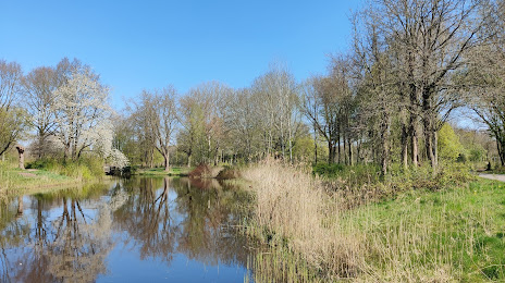
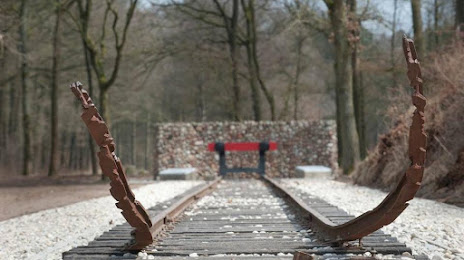
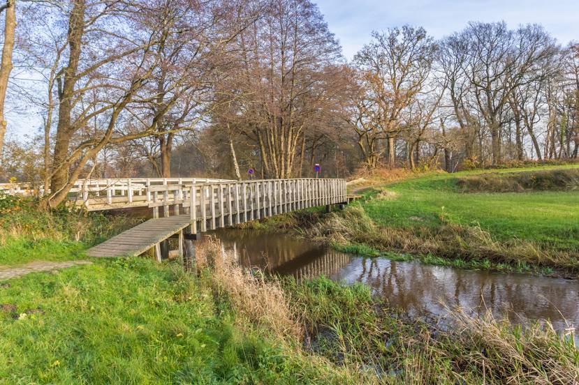
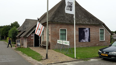
Attractions


Distance to the capital
Distance to the capital (Amsterdam) is about — 132 km.