 Pointe-à-la-Croix
Sainte-Irène, Quebec
Marsoui
Hecla
Muskrat Dam
Wunnummin Lake
Sainte-Brigitte-de-Laval
Drayton
Mauricie
Pointe-à-la-Croix
Sainte-Irène, Quebec
Marsoui
Hecla
Muskrat Dam
Wunnummin Lake
Sainte-Brigitte-de-Laval
Drayton
Mauricie
Golf Club Legends on the map, Saint-Jean-sur-Richelieu, Canada
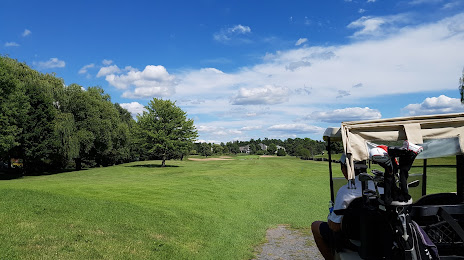
Photo
Where is located Golf Club Legends
Golf Club Legends — local attraction, which is located at 400 Rue de la Bergère, Saint-Jean-sur-Richelieu, QC J2W 1S9, Canada and belongs to the category — golf club. Average visitor rating for this place — 4.1 (according to 109 ratings, information from open sources and relevant for 2022).
Exact location — Golf Club Legends, marked on the map with a red marker.
You can get directions to Golf Club Legends on the map from your location.
What else is interesting in Saint-Jean-sur-Richelieu? You can see all the sights if you go to the city page.
Coordinates
Golf Club Legends, Canada coordinates in decimal format: latitude — 45.36763039111517, longitude — -73.30048697499095. When converted to degrees, minutes, seconds Golf Club Legends has the following coordinates: 45°22′3.47 north latitude and -73°18′1.75 east longitude.
Nearby cities
The largest cities that are located nearby:
- Longueuil — 32 km
- Montreal — 33 km
- Laval — 49 km
- Sherbrooke — 107 km
- Trois-Rivières — 127 km
- Gatineau — 191 km
- Levis — 220 km
- Quebec — 225 km
- Kingston — 282 km
- Manchester
 (United States) — 294 km
 - Amherst (United States) — 334 km
- Lowell (United States) — 335 km
- Syracuse (United States) — 342 km
- Worcester (United States) — 357 km
- Springfield (United States) — 358 km
- Cambridge (United States) — 368 km
- Boston (United States) — 372 km
- Saguenay — 381 km
- Hartford (United States) — 394 km
Distance to the capital
Distance to the capital (Ottawa) is about — 187 km.