 Toronto
Sedley
Mayerthorpe
Saint-Lazare
Niagara Regional Municipality
Dease Lake
Regina International Airport
Yarmouth
Kingston
Capital
Laval
Les Laurentides Regional County Municipality
Burns Lake
Lisle
The Blue Mountains
Missinipe
Cariboo
Christina Lake
Thunder Bay International Airport
Toronto
Sedley
Mayerthorpe
Saint-Lazare
Niagara Regional Municipality
Dease Lake
Regina International Airport
Yarmouth
Kingston
Capital
Laval
Les Laurentides Regional County Municipality
Burns Lake
Lisle
The Blue Mountains
Missinipe
Cariboo
Christina Lake
Thunder Bay International Airport
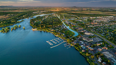
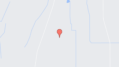
Saint-Jean-sur-Richelieu on the map, Canada
Where is located Saint-Jean-sur-Richelieu
Exact location — Saint-Jean-sur-Richelieu, Le Haut-Richelieu Regional County Municipality, Quebec, Canada, marked on the map with a red marker.
Coordinates
Saint-Jean-sur-Richelieu, Canada coordinates in decimal format: latitude — 45.305771, longitude — -73.2544903. When converted to degrees, minutes, seconds Saint-Jean-sur-Richelieu has the following coordinates: 45°18′20.78 north latitude and -73°15′16.17 east longitude.
Population
Saint-Jean-sur-Richelieu, Le Haut-Richelieu Regional County Municipality, Quebec, Canada, according to our data the population is — 71,613 residents, which is about 0.2% of the total population of the country (Canada).
Comparison of the population on the graph:
Exact time
Time zone for this location Saint-Jean-sur-Richelieu — UTC -4 America/Toronto. Exact time — saturday, 5 may 2024 year, 05 h. 26 minutes.
Sunrise and sunset
Saint-Jean-sur-Richelieu, sunrise and sunset data for a date — saturday 11.05.2024.
| Sunrise | Sunset | Day (duration) |
|---|---|---|
| 05:30 -1 minute | 20:08 +1 minute | 14 h. 36 minutes. +2 minutes |
You can control the scale of the map using the auxiliary tools to find out exactly where it is located Saint-Jean-sur-Richelieu. When you change the scale of the map, the width of the ruler also changes (in kilometers and miles).
Nearby cities
The largest cities that are located nearby:
- Longueuil — 32 km
- Montreal — 33 km
- Laval — 49 km
- Sherbrooke — 107 km
- Trois-Rivières — 127 km
- Gatineau — 191 km
- Levis — 220 km
- Quebec — 225 km
- Kingston — 282 km
- Manchester
 (United States) — 294 km
 - Amherst (United States) — 334 km
- Lowell (United States) — 335 km
- Syracuse (United States) — 342 km
- Worcester (United States) — 357 km
- Springfield (United States) — 358 km
- Cambridge (United States) — 368 km
- Boston (United States) — 372 km
- Saguenay — 381 km
- Hartford (United States) — 394 km
Distance to neighboring capitals:
- Washington (United States) — 777 km
- Nuuk
 (Greenland) — 2485 km
 - Saint John
 (Puerto Rico) — 3058 km
 - Mexico City
 (Mexico) — 3733 km
 - Belgrade
 (Serbia) — 6903 km
 - Podgorica
 (Montenegro) — 6986 km
 - Hagåtña
 (Guam) — 12449 km
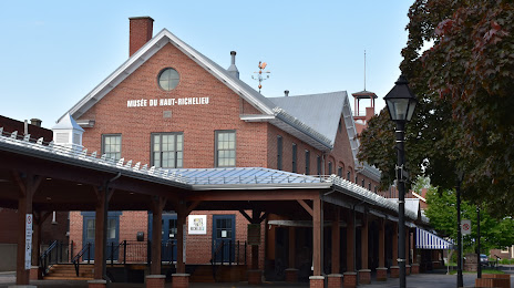
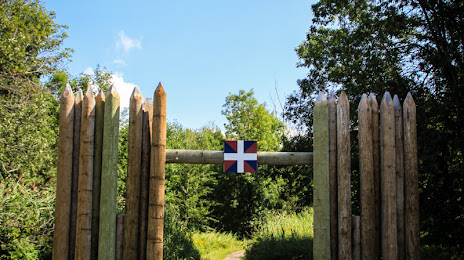
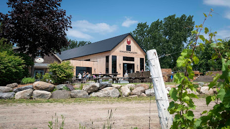
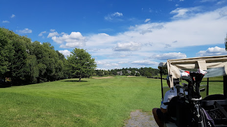
Attractions

Distance to the capital
Distance to the capital (Ottawa) is about — 191 km.