 Warner Robins
Wantagh
Bethel
Misty Hill Farm
United States
Wakonda Beach (R33) Airport
Wilmington
Poland
Miami International Airport
Warner Robins
Wantagh
Bethel
Misty Hill Farm
United States
Wakonda Beach (R33) Airport
Wilmington
Poland
Miami International Airport
Cane River Lake on the map, Natchitoches, United States
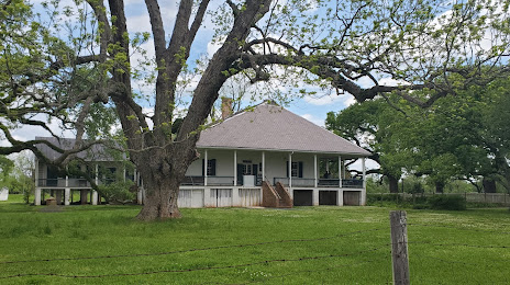
Photo
Where is located Cane River Lake
Cane River Lake — local attraction, which is located at 30 m and belongs to the category — -. Average visitor rating for this place — 4.8 (according to 29 ratings, information from open sources and relevant for 2022).
Exact location — Cane River Lake, marked on the map with a red marker.
You can get directions to Cane River Lake on the map from your location.
What else is interesting in Natchitoches? You can see all the sights if you go to the city page.
Coordinates
Cane River Lake, United States coordinates in decimal format: latitude — 31.71917870334765, longitude — -93.11145073549595. When converted to degrees, minutes, seconds Cane River Lake has the following coordinates: 31°43′9.04 north latitude and -93°6′41.22 east longitude.
Nearby cities
The largest cities that are located nearby:
- Shreveport — 105 km
- Lafayette — 198 km
- Beaumont — 211 km
- Baton Rouge — 235 km
- Jackson — 278 km
- Houston — 311 km
- Little Rock — 338 km
- Metairie — 343 km
- Mesquite — 345 km
- New Orleans — 351 km
- Garland — 353 km
- Richardson — 363 km
- Plano — 363 km
- Dallas — 363 km
- Irving — 377 km
- Carrollton — 378 km
- Frisco — 379 km
- Grand Prairie — 380 km
- Waco — 383 km
Distance to the capital
Distance to the capital (Washington) is about — 1660 km.