Indianapolis — Bexar County
Indianapolis — Villisca
Indianapolis — Des Plaines
Indianapolis — Saint Joseph
Indianapolis — Saint Helens
Indianapolis — Waltonville
Indianapolis — Chilhowee
Indianapolis — Staley
Indianapolis — Elora
Indianapolis — Garnavillo
Indianapolis — Garfield
Indianapolis — Snowville
Indianapolis — Port Neches
Indianapolis — Johnson City
Indianapolis — Columbia
Indianapolis — Southgate
Indianapolis — Oskar
Indianapolis — Breese
Indianapolis — Hopkins
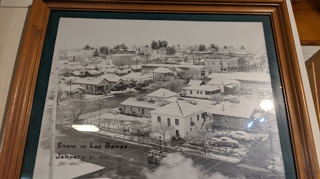
Indianapolis — Los Banos distance, route on the map
Distance by car
Distance between Indianapolis, Indiana, United States and Los Banos, California, United States by car is — km, or miles. To travel this distance by car, you need minute, or h.
Route on the map, driving directions
Car route Indianapolis — Los Banos was created automatically. The road on the map is shown as a blue line. By moving the markers, you can create a new route through the points you need.
Distance by plane
If you decide to take a trip Indianapolis Los Banos by plane, then you have to fly the distance — 3019 km or 1872 miles. It is marked on the map with a gray line (between two points in a straight line).
Flight time
Estimated flight time Indianapolis Los Banos by plane at cruising speed 750 km / h will be — 4 h. and 1 min.
Direction of movement
United States, Indianapolis — right-hand traffic. United States, Los Banos — right-hand traffic.
Difference in time
Indianapolis and Los Banos are in different time zones. The time difference is 3 hours (UTC -4 America/New_York, UTC -7 America/Los_Angeles).
Interesting Facts
Information on alternative ways to get to your destination.
The length of this distance is about 7.5% of the total length of the equator.
The percentage of the population is clearly shown in the graph:
Indianapolis — 773,283, Los Banos — 33,317 residents (less by 739,966).
The cost of travel
Calculate the cost of the trip yourself using the fuel consumption calculator, changing the data in the table.
Calculate the cost of other distances from the starting point — Indianapolis.