Colorado Springs — Dover
Colorado Springs — Lombard
Colorado Springs — North Carrollton
Colorado Springs — Averill Park
Colorado Springs — Richvale
Colorado Springs — Claysville
Colorado Springs — Stillman Valley
Colorado Springs — Centerville
Colorado Springs — Glastonbury
Colorado Springs — Abie
Colorado Springs — Port Murray
Colorado Springs — Vancleave
Colorado Springs — Vergennes
Colorado Springs — Ogema
Colorado Springs — Cambridge
Colorado Springs — Lesterville
Colorado Springs — Washougal
Colorado Springs — Framingham
Colorado Springs — Tampa
Fountain
Pueblo
Walsenburg
Aguilar
Ludlow
Trinidad
Raton
Valmora
Watrous
Las Vegas
Tecolote
Serafina
Ribera
Lamy
Eldorado at Santa Fe
Santa Fe
La Cienega
Kewa Pueblo
Algodones
Santa Ana Pueblo
Bernalillo
Corrales
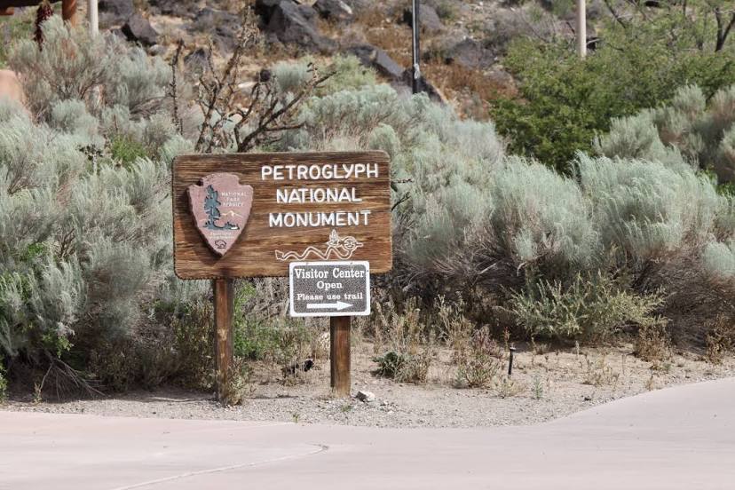
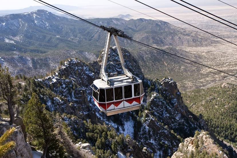
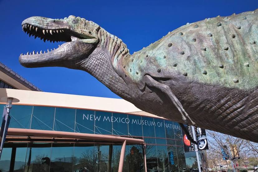
Albuquerque
Colorado Springs — Dover
Colorado Springs — Lombard
Colorado Springs — North Carrollton
Colorado Springs — Averill Park
Colorado Springs — Richvale
Colorado Springs — Claysville
Colorado Springs — Stillman Valley
Colorado Springs — Centerville
Colorado Springs — Glastonbury
Colorado Springs — Abie
Colorado Springs — Port Murray
Colorado Springs — Vancleave
Colorado Springs — Vergennes
Colorado Springs — Ogema
Colorado Springs — Cambridge
Colorado Springs — Lesterville
Colorado Springs — Washougal
Colorado Springs — Framingham
Colorado Springs — Tampa
Fountain
Pueblo
Walsenburg
Aguilar
Ludlow
Trinidad
Raton
Valmora
Watrous
Las Vegas
Tecolote
Serafina
Ribera
Lamy
Eldorado at Santa Fe
Santa Fe
La Cienega
Kewa Pueblo
Algodones
Santa Ana Pueblo
Bernalillo
Corrales
Albuquerque
Colorado Springs — Albuquerque distance, route on the map
Distance by car
Distance between Colorado Springs, Colorado, United States and Albuquerque, New Mexico, United States by car is — km, or miles. To travel this distance by car, you need minute, or h.
Route on the map, driving directions
Car route Colorado Springs — Albuquerque was created automatically. The road on the map is shown as a blue line. By moving the markers, you can create a new route through the points you need.
Passing cities through which the car route passes: Colorado Springs, Fountain, Pueblo, Walsenburg, Aguilar, Ludlow, Trinidad, Raton, Valmora, Watrous, Las Vegas, Tecolote, Serafina, Ribera, Lamy, Eldorado at Santa Fe, Santa Fe, La Cienega, Kewa Pueblo, Algodones, Santa Ana Pueblo, Bernalillo, Corrales, Albuquerque.
Distance by plane
If you decide to take a trip Colorado Springs Albuquerque by plane, then you have to fly the distance — 446 km or 277 miles. It is marked on the map with a gray line (between two points in a straight line).
Flight time
Estimated flight time Colorado Springs Albuquerque by plane at cruising speed 750 km / h will be — 35 min.
Direction of movement
United States, Colorado Springs — right-hand traffic. United States, Albuquerque — right-hand traffic.
Difference in time
Colorado Springs and Albuquerque are in the same time zone. Between them there is no time difference (UTC -6 America/Denver).
Interesting Facts
Information on alternative ways to get to your destination.
The length of this distance is about 1.1% of the total length of the equator.
The percentage of the population is clearly shown in the graph:
Colorado Springs — 373,072 (less by 114,306), Albuquerque — 487,378 residents.
The cost of travel
Calculate the cost of the trip yourself using the fuel consumption calculator, changing the data in the table.
Calculate the cost of other distances from the starting point — Colorado Springs.