 Mocksville
Roswell
Kansas City
Elk Grove
Merced
Orlando
Carlsbad
Chillicothe
Mountainair
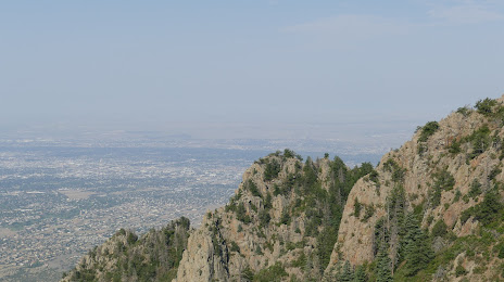
Colorado Springs
North Salt Lake
Salt Lake City
Alpharetta
Clearfield
Nephi
El Centro
Lenexa
Stone Mountain
Andover
Mocksville
Roswell
Kansas City
Elk Grove
Merced
Orlando
Carlsbad
Chillicothe
Mountainair
Colorado Springs
North Salt Lake
Salt Lake City
Alpharetta
Clearfield
Nephi
El Centro
Lenexa
Stone Mountain
Andover
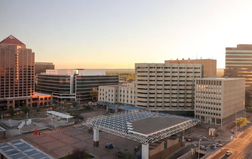
Albuquerque on the map, United States
Where is located Albuquerque
Exact location — Albuquerque, Bernalillo County, New Mexico, United States, marked on the map with a red marker.
Coordinates
Albuquerque, United States coordinates in decimal format: latitude — 35.0853336, longitude — -106.6055534. When converted to degrees, minutes, seconds Albuquerque has the following coordinates: 35°5′7.2 north latitude and -106°36′19.99 east longitude.
Population
Albuquerque, Bernalillo County, New Mexico, United States, according to our data the population is — 487,378 residents, which is about 0.1% of the total population of the country (United States).
Comparison of the population on the graph:
Exact time
Time zone for this location Albuquerque — UTC -6 America/Denver. Exact time — thursday, 4 april 2024 year, 22 h. 08 minutes.
Sunrise and sunset
Albuquerque, sunrise and sunset data for a date — thursday 25.04.2024.
| Sunrise | Sunset | Day (duration) |
|---|---|---|
| 06:23 -2 minutes | 19:44 +1 minute | 13 h. 24 minutes. +3 minutes |
You can control the scale of the map using the auxiliary tools to find out exactly where it is located Albuquerque. When you change the scale of the map, the width of the ruler also changes (in kilometers and miles).
Nearby cities
The largest cities that are located nearby:
- Valencia — 33 km
- El Paso — 366 km
- Ciudad Juarez
 (Mexico) — 376 km
 - Pueblo — 391 km
- Amarillo — 432 km
- Colorado Springs — 442 km
- Lubbock — 468 km
- Tucson — 513 km
- Gilbert — 516 km
- Mesa — 516 km
- Scottsdale — 521 km
- Chandler — 522 km
- Tempe — 525 km
- Lakewood — 527 km
- Denver — 533 km
- Aurora — 535 km
- Phoenix — 536 km
- Arvada — 537 km
- Glendale — 542 km
Distance to neighboring capitals:
- Mexico City (Mexico) — 1890 km
- Belmopan
 (Belize) — 2656 km
 - Guatemala City
 (Guatemala) — 2787 km
 - Ottawa
 (Canada) — 2842 km
 - Nuuk
 (Greenland) — 4865 km
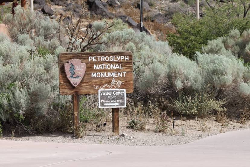
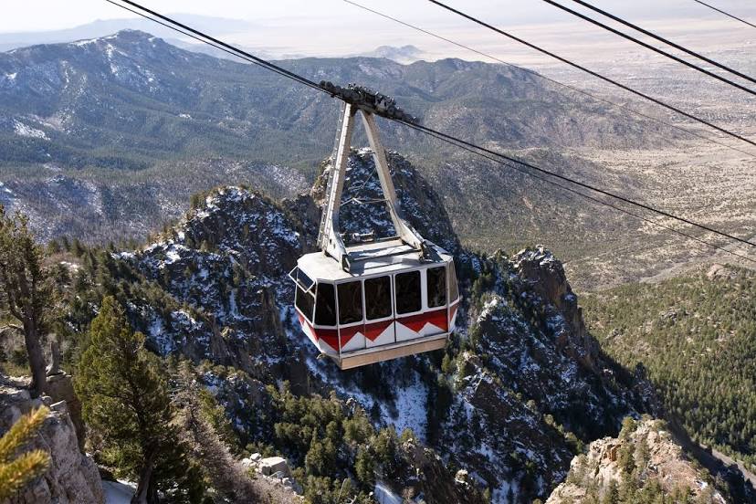
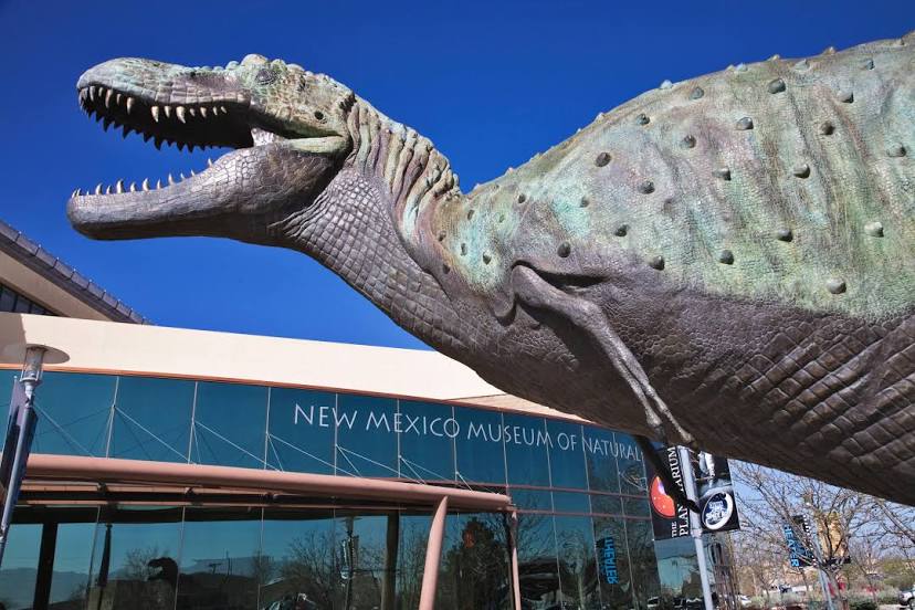
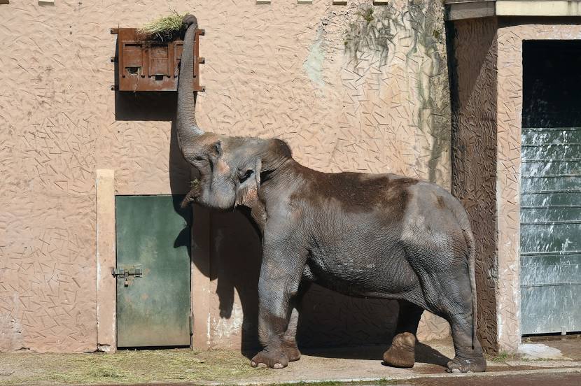
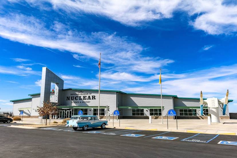
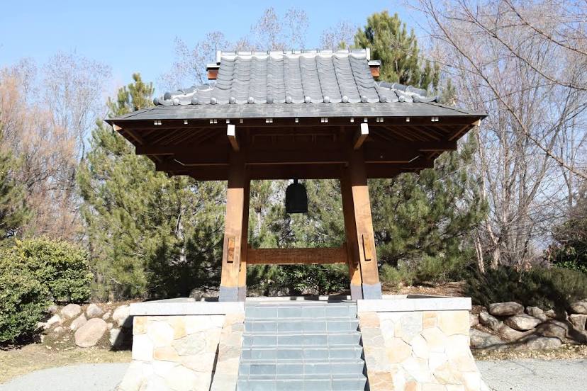
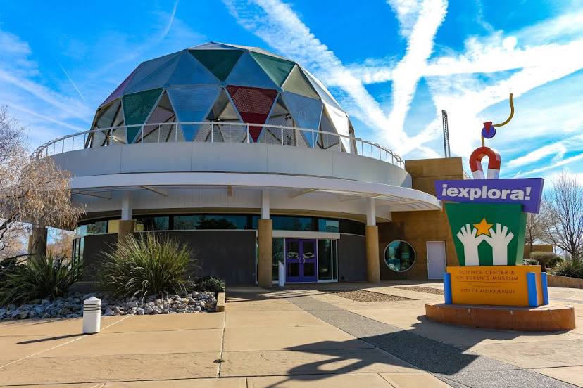
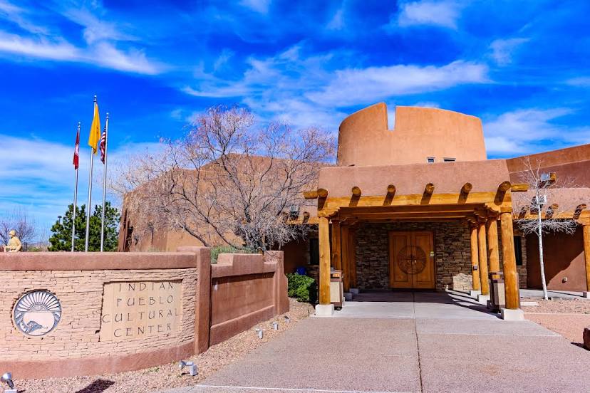
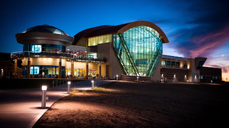
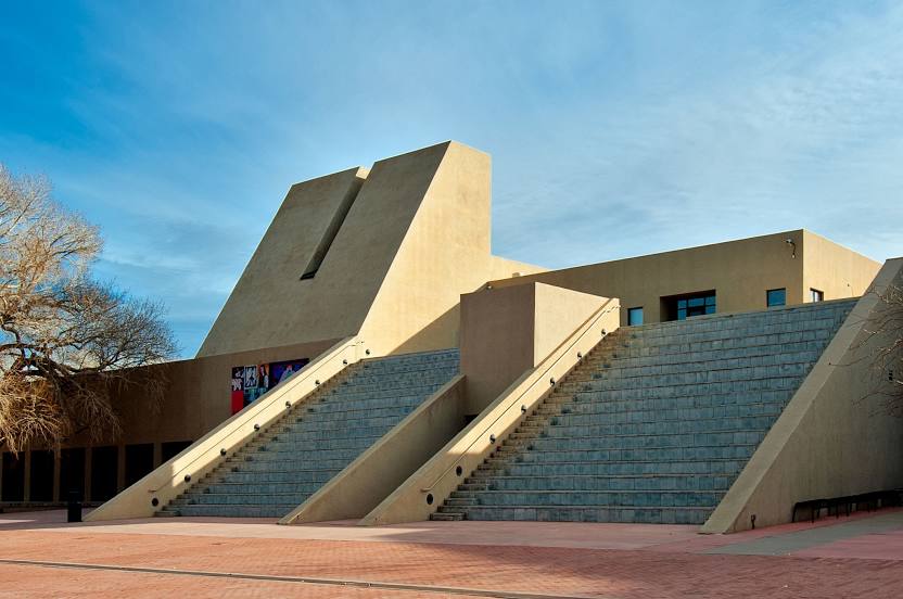
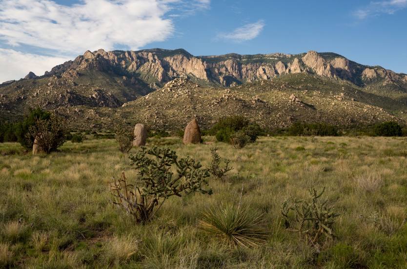
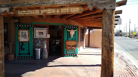
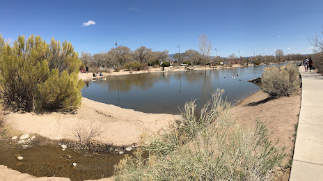
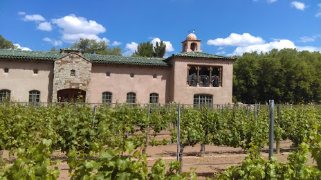
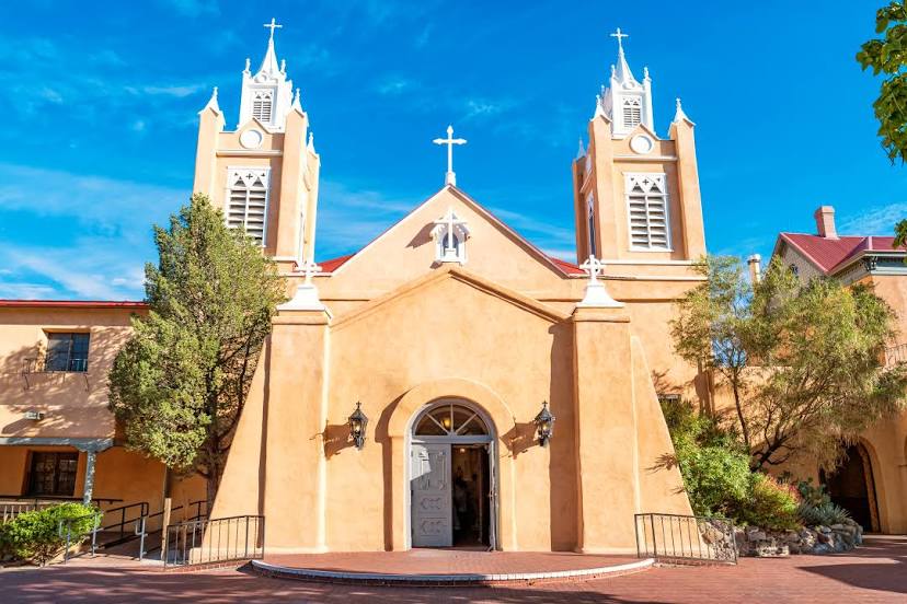
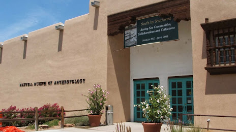
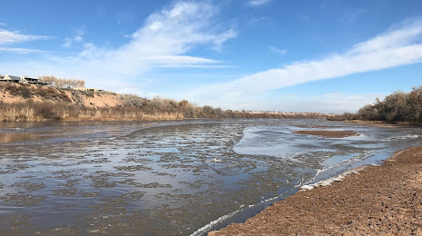
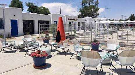
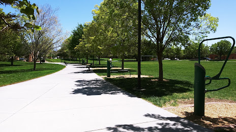
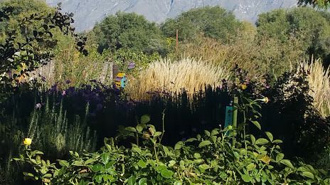
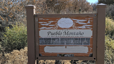
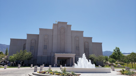
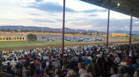
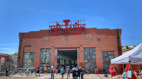
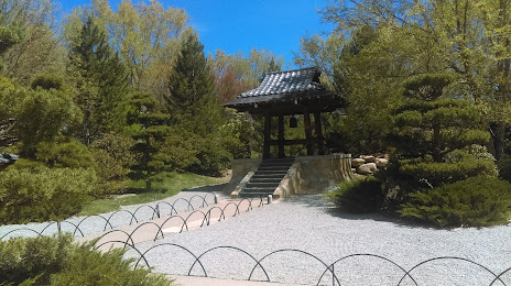
Attractions


Distance to the capital
Distance to the capital (Washington) is about — 2649 km.