New Orleans — Bedford
New Orleans — Fosston
New Orleans — Gallagher
New Orleans — Fort Bridger
New Orleans — Clarksburg
New Orleans — Curran
New Orleans — Graysville
New Orleans — Quintana
New Orleans — Locust Grove
New Orleans — Turner County
New Orleans — Sumneytown
New Orleans — Reese Airport
New Orleans — Tehuacana
New Orleans — Adrian
New Orleans — Clymer
New Orleans — Bonneville County
New Orleans — Nebraska
New Orleans — Findlay
New Orleans — Iliff
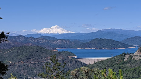
New Orleans — Shasta Lake distance, route on the map
Distance by car
Distance between New Orleans, Louisiana, United States and Shasta Lake, California, United States by car is — km, or miles. To travel this distance by car, you need minute, or h.
Route on the map, driving directions
Car route New Orleans — Shasta Lake was created automatically. The road on the map is shown as a blue line. By moving the markers, you can create a new route through the points you need.
Distance by plane
If you decide to take a trip New Orleans Shasta Lake by plane, then you have to fly the distance — 3143 km or 1949 miles. It is marked on the map with a gray line (between two points in a straight line).
Flight time
Estimated flight time New Orleans Shasta Lake by plane at cruising speed 750 km / h will be — 4 h. and 11 min.
Direction of movement
United States, New Orleans — right-hand traffic. United States, Shasta Lake — right-hand traffic.
Difference in time
New Orleans and Shasta Lake are in different time zones. The time difference is 2 hours (UTC -5 America/Chicago, UTC -7 America/Los_Angeles).
Interesting Facts
Information on alternative ways to get to your destination.
The length of this distance is about 7.8% of the total length of the equator.
The percentage of the population is clearly shown in the graph:
New Orleans — 459,336, Shasta Lake — 10,611 residents (less by 448,725).
The cost of travel
Calculate the cost of the trip yourself using the fuel consumption calculator, changing the data in the table.
Calculate the cost of other distances from the starting point — New Orleans.