San Antonio — Altoona
San Antonio — Lindale
San Antonio — Marshfield
San Antonio — Davenport Airport
San Antonio — Hudson County
San Antonio — Symsonia
San Antonio — Ringling
San Antonio — Crystal City
San Antonio — Flaxton
San Antonio — Tensed
San Antonio — Elk Garden
San Antonio — Colstrip
San Antonio — Ashburn
San Antonio — Porterville
San Antonio — Montpelier
San Antonio — Buda
San Antonio — Welsh
San Antonio — Jeffrey
San Antonio — Bridgeton
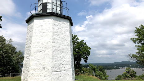
San Antonio — Stony Point distance, route on the map
Distance by car
Distance between San Antonio, Texas, United States and Stony Point, New York, United States by car is — km, or miles. To travel this distance by car, you need minute, or h.
Route on the map, driving directions
Car route San Antonio — Stony Point was created automatically. The road on the map is shown as a blue line. By moving the markers, you can create a new route through the points you need.
Distance by plane
If you decide to take a trip San Antonio Stony Point by plane, then you have to fly the distance — 2569 km or 1593 miles. It is marked on the map with a gray line (between two points in a straight line).
Flight time
Estimated flight time San Antonio Stony Point by plane at cruising speed 750 km / h will be — 3 h. and 25 min.
Direction of movement
United States, San Antonio — right-hand traffic. United States, Stony Point — right-hand traffic.
Difference in time
San Antonio and Stony Point are in different time zones. The time difference is 1 hour (UTC -5 America/Chicago, UTC -4 America/New_York).
Interesting Facts
Information on alternative ways to get to your destination.
The length of this distance is about 6.4% of the total length of the equator.
The percentage of the population is clearly shown in the graph:
San Antonio — 1,256,810, Stony Point — 12,234 residents (less by 1,244,576).
The cost of travel
Calculate the cost of the trip yourself using the fuel consumption calculator, changing the data in the table.
Calculate the cost of other distances from the starting point — San Antonio.