Metairie — Clemson
Metairie — Wheelock
Metairie — Duchesne
Metairie — Colwell
Metairie — Dansville
Metairie — Oyens
Metairie — Star
Metairie — Bucklin
Metairie — Walnut Grove
Metairie — Massillon
Metairie — Lafitte
Metairie — McAlester
Metairie — Laguna Park
Metairie — Fairwater
Metairie — Myrne
Metairie — Scipio
Metairie — Savage
Metairie — Colmesneil
Metairie — Norden
Louis Armstrong New Orleans International Airport
LaPlace
Akers
Ponchatoula
Hammond
Independence
Amite City
Tangipahoa
Chatawa
McComb
Bogue Chitto
Gallman
Crystal Springs
Jackson
Bentonia
Yazoo City
Isola
Lake Village
Dermott
McGehee
Tillar
Desha County
Gould
Pine Bluff
Hensley
Landmark
Bill and Hillary Clinton National Airport
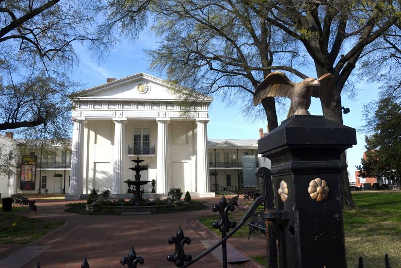
Little Rock
Metairie — Clemson
Metairie — Wheelock
Metairie — Duchesne
Metairie — Colwell
Metairie — Dansville
Metairie — Oyens
Metairie — Star
Metairie — Bucklin
Metairie — Walnut Grove
Metairie — Massillon
Metairie — Lafitte
Metairie — McAlester
Metairie — Laguna Park
Metairie — Fairwater
Metairie — Myrne
Metairie — Scipio
Metairie — Savage
Metairie — Colmesneil
Metairie — Norden
Louis Armstrong New Orleans International Airport
LaPlace
Akers
Ponchatoula
Hammond
Independence
Amite City
Tangipahoa
Chatawa
McComb
Bogue Chitto
Gallman
Crystal Springs
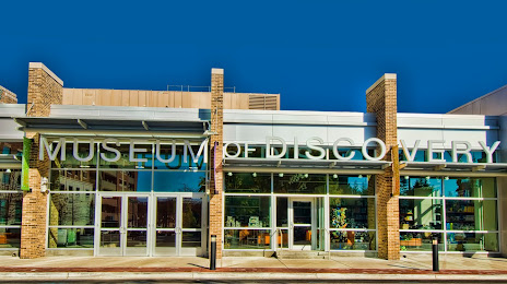
Jackson
Bentonia
Yazoo City
Isola
Lake Village
Dermott
McGehee
Tillar
Desha County
Gould
Pine Bluff
Hensley
Landmark
Bill and Hillary Clinton National Airport
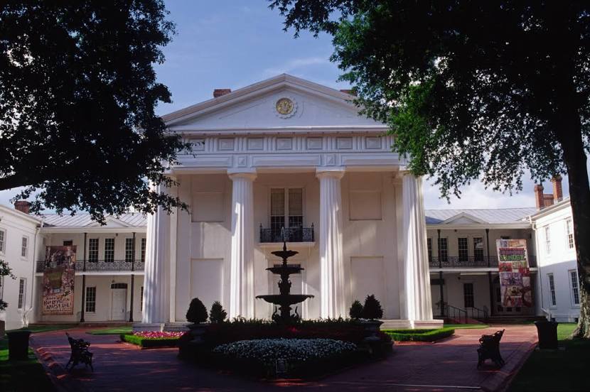
Little Rock
Metairie — North Little Rock distance, route on the map
Distance by car
Distance between Metairie, Louisiana, United States and North Little Rock, Arkansas, United States by car is — km, or miles. To travel this distance by car, you need minute, or h.
Route on the map, driving directions
Car route Metairie — North Little Rock was created automatically. The road on the map is shown as a blue line. By moving the markers, you can create a new route through the points you need.
Passing cities through which the car route passes: Kenner, Louis Armstrong New Orleans International Airport, LaPlace, Akers, Ponchatoula, Hammond, Independence, Amite City, Tangipahoa, Chatawa, McComb, Bogue Chitto, Gallman, Crystal Springs, Jackson, Bentonia, Yazoo City, Isola, Lake Village, Dermott, McGehee, Tillar, Desha County, Gould, Pine Bluff, Hensley, Landmark, Bill and Hillary Clinton National Airport, Little Rock.
Distance by plane
If you decide to take a trip Metairie North Little Rock by plane, then you have to fly the distance — 568 km or 352 miles. It is marked on the map with a gray line (between two points in a straight line).
Flight time
Estimated flight time Metairie North Little Rock by plane at cruising speed 750 km / h will be — 45 min.
Direction of movement
United States, Metairie — right-hand traffic. United States, North Little Rock — right-hand traffic.
Difference in time
Metairie and North Little Rock are in the same time zone. Between them there is no time difference (UTC -5 America/Chicago).
Interesting Facts
Information on alternative ways to get to your destination.
The length of this distance is about 1.4% of the total length of the equator.
The percentage of the population is clearly shown in the graph:
Metairie — 138,481, North Little Rock — 59,078 residents (less by 79,403).
The cost of travel
Calculate the cost of the trip yourself using the fuel consumption calculator, changing the data in the table.
Calculate the cost of other distances from the starting point — Metairie.