 Maple Shade Township
Dover
Malibu
Franklin
Port Gibson
Willow Grove
Alice
Fresno
Clovis
Culver City
Miami Beach
Mobile
Paragould
Mesa
Merriam
Tucson
Laredo
Horn Lake
North Little Rock
Maple Shade Township
Dover
Malibu
Franklin
Port Gibson
Willow Grove
Alice
Fresno
Clovis
Culver City
Miami Beach
Mobile
Paragould
Mesa
Merriam
Tucson
Laredo
Horn Lake
North Little Rock
Horsham on the map, United States
Where is located Horsham
Exact location — Horsham, Montgomery County, Pennsylvania, United States, marked on the map with a red marker.
Coordinates
Horsham, United States coordinates in decimal format: latitude — 40.1784422, longitude — -75.1285061. When converted to degrees, minutes, seconds Horsham has the following coordinates: 40°10′42.39 north latitude and -75°7′42.62 east longitude.
Population
Horsham, Montgomery County, Pennsylvania, United States, according to our data the population is — 14,597 residents, which is about 0% of the total population of the country (United States).
Comparison of the population on the graph:
Exact time
Time zone for this location Horsham — UTC -4 America/New_York. Exact time — friday, 4 april 2024 year, 09 h. 47 minutes.
Sunrise and sunset
Horsham, sunrise and sunset data for a date — friday 26.04.2024.
| Sunrise | Sunset | Day (duration) |
|---|---|---|
| 06:08 -2 minutes | 19:47 +1 minute | 13 h. 42 minutes. +3 minutes |
You can control the scale of the map using the auxiliary tools to find out exactly where it is located Horsham. When you change the scale of the map, the width of the ruler also changes (in kilometers and miles).
Nearby cities
The largest cities that are located nearby:
- Philadelphia — 25 km
- Allentown — 56 km
- Edison — 71 km
- Toms River — 83 km
- Elizabeth — 94 km
- Newark — 101 km
- Brooklyn — 111 km
- New York — 111 km
- Paterson — 114 km
- Yonkers — 132 km
- Baltimore — 160 km
- Stamford — 164 km
- Bridgeport — 196 km
- New Haven — 221 km
- Alexandria — 224 km
- Waterbury — 230 km
- Hartford — 267 km
- Springfield — 298 km
- Amherst — 322 km
Distance to neighboring capitals:
- Ottawa
 (Canada) — 585 km
 - Belmopan
 (Belize) — 2868 km
 - Nuuk
 (Greenland) — 3070 km
 - Guatemala City
 (Guatemala) — 3214 km
 - Mexico City
 (Mexico) — 3249 km
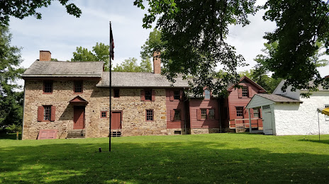
Attractions


Distance to the capital
Distance to the capital (Washington) is about — 216 km.