Sterling Heights — Midlothian
Sterling Heights — Cohoes
Sterling Heights — Sturkie
Sterling Heights — Saint Paul
Sterling Heights — Banner Elk
Sterling Heights — Silver City
Sterling Heights — McMillan Township
Sterling Heights — Strahan
Sterling Heights — Clarence
Sterling Heights — Errol
Sterling Heights — Oxford
Sterling Heights — Largo
Sterling Heights — Spickard
Sterling Heights — Brookston
Sterling Heights — Hallsville
Sterling Heights — Naalehu
Sterling Heights — Delphia
Sterling Heights — Malabar
Sterling Heights — Aubry
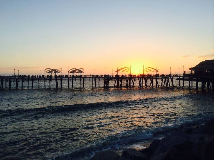
Sterling Heights — Hermosa Beach distance, route on the map
Distance by car
Distance between Sterling Heights, Michigan, United States and Hermosa Beach, California, United States by car is — km, or miles. To travel this distance by car, you need minute, or h.
Route on the map, driving directions
Car route Sterling Heights — Hermosa Beach was created automatically. The road on the map is shown as a blue line. By moving the markers, you can create a new route through the points you need.
Distance by plane
If you decide to take a trip Sterling Heights Hermosa Beach by plane, then you have to fly the distance — 3213 km or 1992 miles. It is marked on the map with a gray line (between two points in a straight line).
Flight time
Estimated flight time Sterling Heights Hermosa Beach by plane at cruising speed 750 km / h will be — 4 h. and 17 min.
Direction of movement
United States, Sterling Heights — right-hand traffic. United States, Hermosa Beach — right-hand traffic.
Difference in time
Sterling Heights and Hermosa Beach are in different time zones. The time difference is 3 hours (UTC -4 America/New_York, UTC -7 America/Los_Angeles).
Interesting Facts
Information on alternative ways to get to your destination.
The length of this distance is about 8.0% of the total length of the equator.
The percentage of the population is clearly shown in the graph:
Sterling Heights — 126,657, Hermosa Beach — 19,825 residents (less by 106,832).
The cost of travel
Calculate the cost of the trip yourself using the fuel consumption calculator, changing the data in the table.
Calculate the cost of other distances from the starting point — Sterling Heights.