Manchester — Townsend Airport
Manchester — Mettawa
Manchester — Mecklenburg
Manchester — Dixon Springs
Manchester — Williston
Manchester — Carmen
Manchester — Dahlen
Manchester — Keystone
Manchester — Petal
Manchester — Milltown
Manchester — Erieville
Manchester — Alsea
Manchester — Veribest
Manchester — Candler
Manchester — Johnson City
Manchester — Greenville
Manchester — Rudolph
Manchester — Granby
Manchester — Lakin
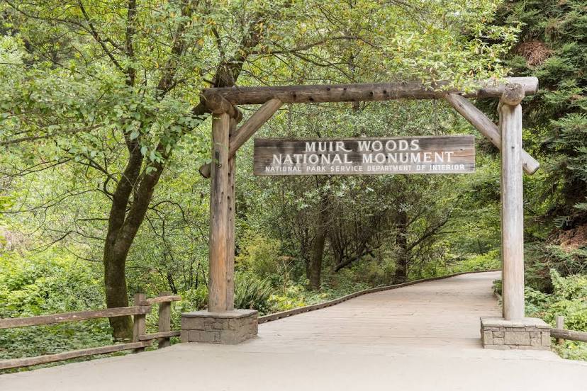
Manchester — Mill Valley distance, route on the map
Distance by car
Distance between Manchester, New Hampshire, United States and Mill Valley, California, United States by car is — km, or miles. To travel this distance by car, you need minute, or h.
Route on the map, driving directions
Car route Manchester — Mill Valley was created automatically. The road on the map is shown as a blue line. By moving the markers, you can create a new route through the points you need.
Distance by plane
If you decide to take a trip Manchester Mill Valley by plane, then you have to fly the distance — 4294 km or 2662 miles. It is marked on the map with a gray line (between two points in a straight line).
Flight time
Estimated flight time Manchester Mill Valley by plane at cruising speed 750 km / h will be — 5 h. and 43 min.
Direction of movement
United States, Manchester — right-hand traffic. United States, Mill Valley — right-hand traffic.
Difference in time
Manchester and Mill Valley are in different time zones. The time difference is 3 hours (UTC -4 America/New_York, UTC -7 America/Los_Angeles).
Interesting Facts
Information on alternative ways to get to your destination.
The length of this distance is about 10.7% of the total length of the equator.
The percentage of the population is clearly shown in the graph:
Manchester — 109,877, Mill Valley — 13,219 residents (less by 96,658).
The cost of travel
Calculate the cost of the trip yourself using the fuel consumption calculator, changing the data in the table.
Calculate the cost of other distances from the starting point — Manchester.