Concord — Duson
Concord — Lime Ridge
Concord — Chelmsford
Concord — Lamy
Concord — Colden
Concord — Grayson County
Concord — Arpin
Concord — Fred
Concord — Preston
Concord — Gateway
Concord — Mesa
Concord — Maddock
Concord — Old Bridge Airport-3N6
Concord — Starksboro
Concord — Oaks Corners
Concord — Pasco
Concord — Penwell
Concord — Pine
Concord — South Amboy
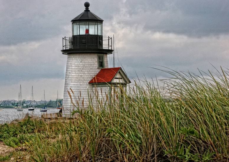
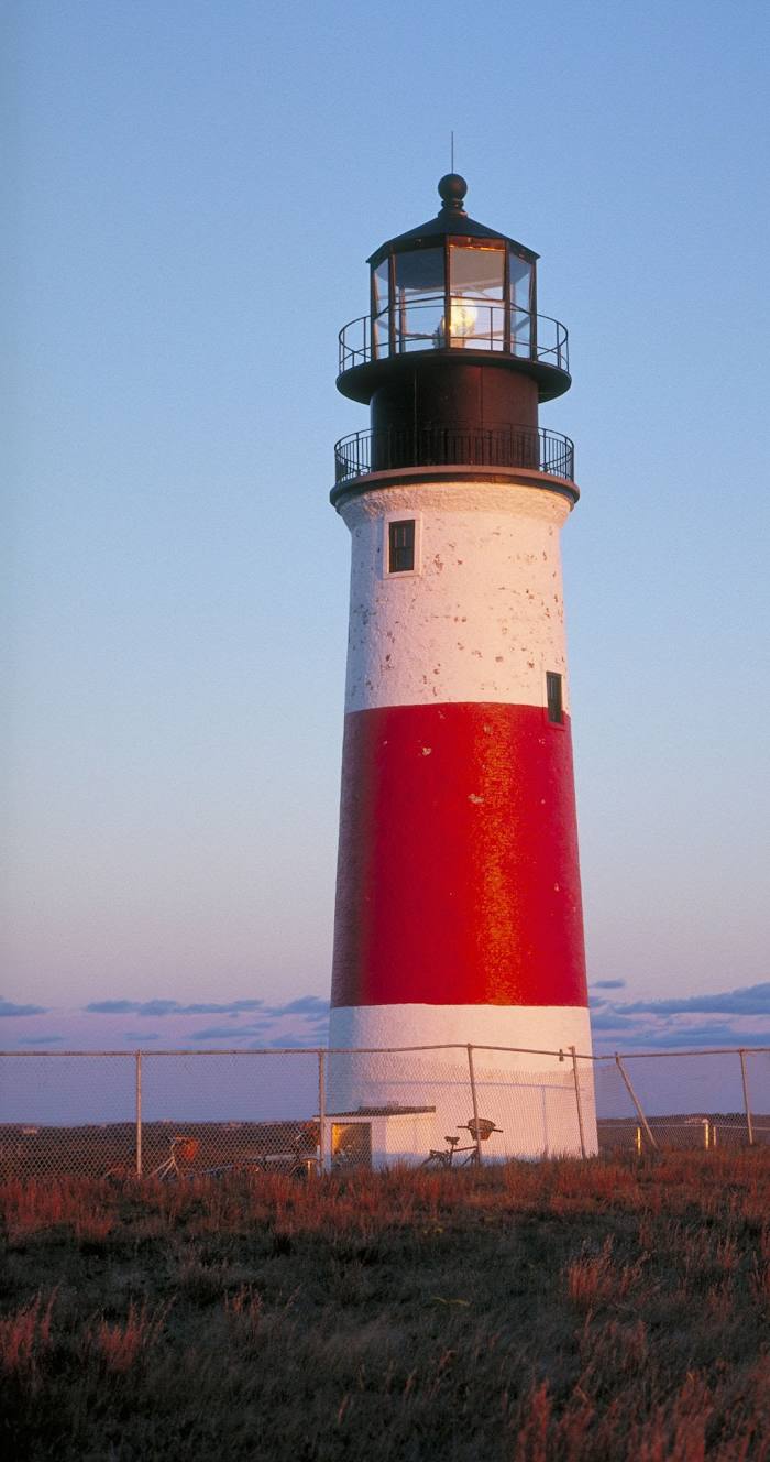
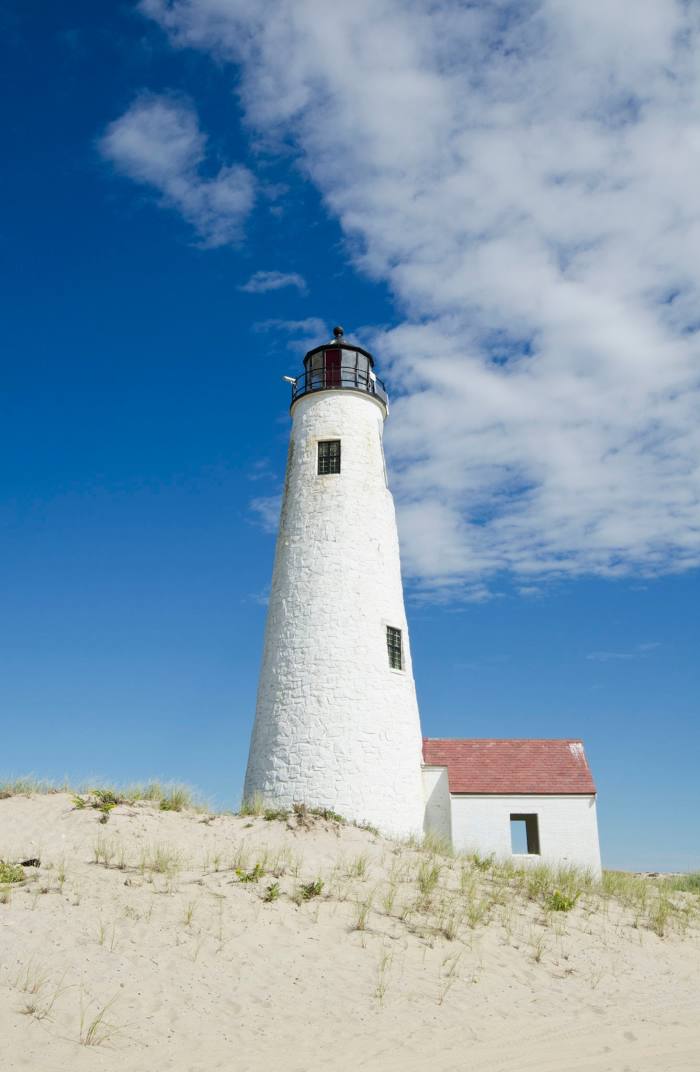
Concord — Nantucket distance, route on the map
Distance by car
Distance between Concord, California, United States and Nantucket, Massachusetts, United States by car is — km, or miles. To travel this distance by car, you need minute, or h.
Route on the map, driving directions
Car route Concord — Nantucket was created automatically. The road on the map is shown as a blue line. By moving the markers, you can create a new route through the points you need.
Distance by plane
If you decide to take a trip Concord Nantucket by plane, then you have to fly the distance — 4397 km or 2726 miles. It is marked on the map with a gray line (between two points in a straight line).
Flight time
Estimated flight time Concord Nantucket by plane at cruising speed 750 km / h will be — 5 h. and 51 min.
Direction of movement
United States, Concord — right-hand traffic. United States, Nantucket — right-hand traffic.
Difference in time
Concord and Nantucket are in different time zones. The time difference is 3 hours (UTC -7 America/Los_Angeles, UTC -4 America/New_York).
Interesting Facts
Information on alternative ways to get to your destination.
The length of this distance is about 11.0% of the total length of the equator.
The percentage of the population is clearly shown in the graph:
Concord — 125,626, Nantucket — 14,775 residents (less by 110,851).
The cost of travel
Calculate the cost of the trip yourself using the fuel consumption calculator, changing the data in the table.
Calculate the cost of other distances from the starting point — Concord.