
 Maureville
Samoëns
Gréning
Toulouse
Volx
Goudet
Méhoncourt
Saint-Hymer
Pontcarré
Maureville
Samoëns
Gréning
Toulouse
Volx
Goudet
Méhoncourt
Saint-Hymer
Pontcarré
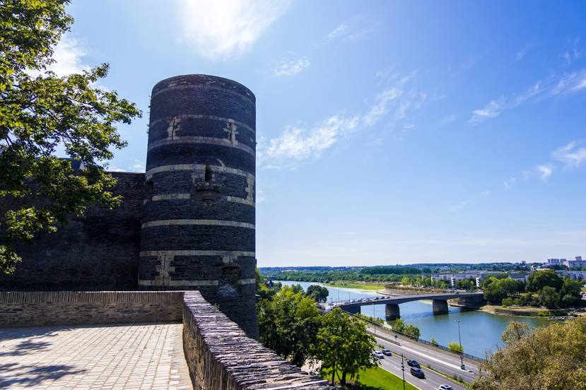
Maine on the map, Angers, France
Photo
Where is located Maine
Maine — local attraction, which is located at 12 km and belongs to the category — -. Average visitor rating for this place — 4.5 (according to 31 rating, information from open sources and relevant for 2022).
Exact location — Maine, marked on the map with a red marker.
You can get directions to Maine on the map from your location.
What else is interesting in Angers? You can see all the sights if you go to the city page.
Coordinates
Maine, France coordinates in decimal format: latitude — 47.45131798429332, longitude — -0.5800435410438233. When converted to degrees, minutes, seconds Maine has the following coordinates: 47°27′4.74 north latitude and -0°34′48.16 east longitude.
Nearby cities
The largest cities that are located nearby:
- Nantes — 80 km
- Le Mans — 81 km
- Tours — 94 km
- Rennes — 108 km
- Caen — 189 km
- Orléans — 189 km
- Le Havre — 228 km
- Limoges — 230 km
- Rouen — 248 km
- Boulogne-Billancourt — 253 km
- Bordeaux — 292 km
- Brest — 305 km
- Amiens — 336 km
- Clermont-Ferrand — 339 km
- Eastbourne
 (United Kingdom) — 369 km
 - Bournemouth (United Kingdom) — 370 km
- Portsmouth (United Kingdom) — 371 km
- Southampton (United Kingdom) — 384 km
- Reims — 386 km
Distance to the capital
Distance to the capital (Paris) is about — 268 km.