
 Caen
Chambéry
Toulon
Vannes
Valence
Poitiers
Levallois-Perret
Auch
Bailleul
Rezé
Corte
Brest
Muret
Val-de-Reuil
Montévrain
Meylan
Clermont
La Gaude
Courbevoie
Caen
Chambéry
Toulon
Vannes
Valence
Poitiers
Levallois-Perret
Auch
Bailleul
Rezé
Corte
Brest
Muret
Val-de-Reuil
Montévrain
Meylan
Clermont
La Gaude
Courbevoie
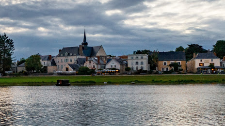
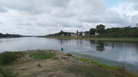
Angers on the map, France
Where is located Angers
Exact location — Angers, Maine-et-Loire, Pays de la Loire, France, marked on the map with a red marker.
Coordinates
Angers, France coordinates in decimal format: latitude — 47.478419, longitude — -0.563166. When converted to degrees, minutes, seconds Angers has the following coordinates: 47°28′42.31 north latitude and -0°33′47.4 east longitude.
Population
Angers, Maine-et-Loire, Pays de la Loire, France, according to our data the population is — 158,585 residents, which is about 0.2% of the total population of the country (France).
Comparison of the population on the graph:
Exact time
Time zone for this location Angers — UTC +2 Europe/Paris. Exact time — sunday, 5 may 2024 year, 14 h. 44 minutes.
Sunrise and sunset
Angers, sunrise and sunset data for a date — sunday 12.05.2024.
| Sunrise | Sunset | Day (duration) |
|---|---|---|
| 06:32 -1 minute | 21:25 +2 minutes | 14 h. 54 minutes. +3 minutes |
You can control the scale of the map using the auxiliary tools to find out exactly where it is located Angers. When you change the scale of the map, the width of the ruler also changes (in kilometers and miles).
Nearby cities
The largest cities that are located nearby:
- Nantes — 80 km
- Le Mans — 81 km
- Tours — 94 km
- Rennes — 108 km
- Caen — 189 km
- Orléans — 189 km
- Le Havre — 228 km
- Limoges — 230 km
- Rouen — 248 km
- Boulogne-Billancourt — 253 km
- Bordeaux — 292 km
- Brest — 305 km
- Amiens — 336 km
- Clermont-Ferrand — 339 km
- Eastbourne
 (United Kingdom) — 369 km
 - Bournemouth (United Kingdom) — 370 km
- Portsmouth (United Kingdom) — 371 km
- Southampton (United Kingdom) — 384 km
- Reims — 386 km
Distance to neighboring capitals:
- London (United Kingdom) — 449 km
- Brussels
 (Belgium) — 518 km
 - Andorra la Vella
 (Andorra) — 577 km
 - Bern
 (Switzerland) — 608 km
 - Amsterdam
 (Netherlands) — 670 km
 - Vaduz
 (Liechtenstein) — 761 km
 - Madrid
 (Spain) — 825 km
 - Prague
 (Czech Republic) — 1135 km
 - Berlin
 (Germany) — 1143 km
 - Lisbon
 (Portugal) — 1196 km
 - Rome
 (Italy) — 1202 km
 - Vienna
 (Austria) — 1264 km
 - Copenhagen
 (Denmark) — 1283 km
 - Warsaw
 (Poland) — 1628 km
 - Nicosia
 — 3115 km
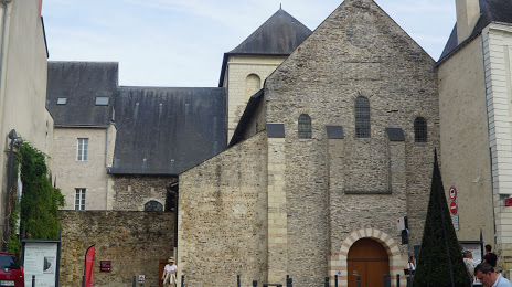
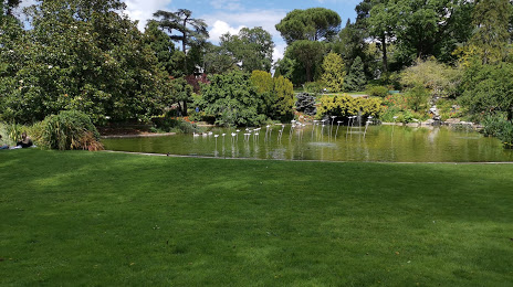
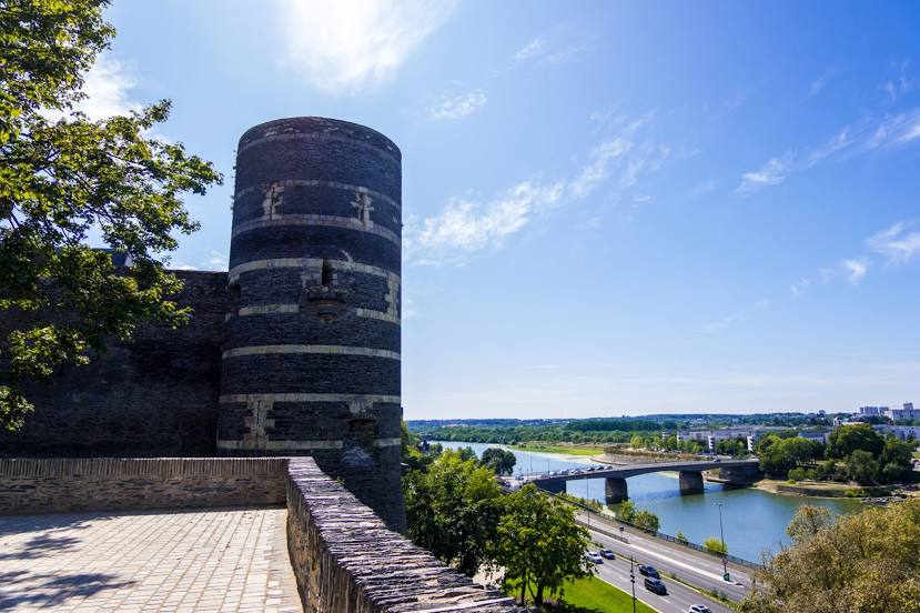
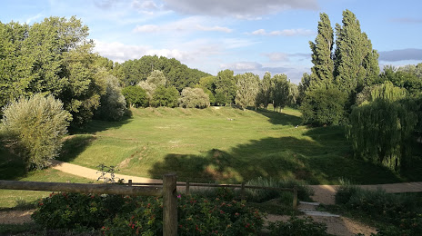
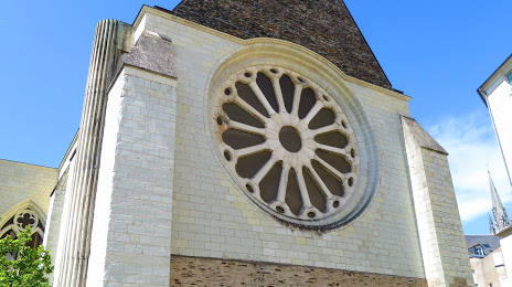
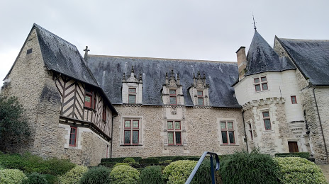
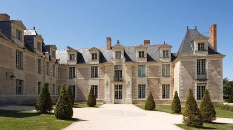
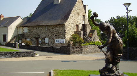
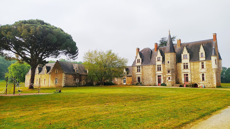
Attractions


Distance to the capital
Distance to the capital (Paris) is about — 265 km.