
 Arcueil
Montiéramey
Châtenay-Malabry
Marne-la-Vallée
Alès
Le Chesnay
Saint-Mandé
Saint-Ouen
Athis-Mons
Semur-en-Auxois
Dijon
Châtillon
Colombes
LFAI
Apremont
Angers
Limonest
Le Havre
Évry
Arcueil
Montiéramey
Châtenay-Malabry
Marne-la-Vallée
Alès
Le Chesnay
Saint-Mandé
Saint-Ouen
Athis-Mons
Semur-en-Auxois
Dijon
Châtillon
Colombes
LFAI
Apremont
Angers
Limonest
Le Havre
Évry
Poitiers on the map, France
Where is located Poitiers
Exact location — Poitiers, Vienne, Poitou-Charentes, France, marked on the map with a red marker.
Coordinates
Poitiers, France coordinates in decimal format: latitude — 46.580224, longitude — 0.340375. When converted to degrees, minutes, seconds Poitiers has the following coordinates: 46°34′48.81 north latitude and 0°20′25.35 east longitude.
Population
Poitiers, Vienne, Poitou-Charentes, France, according to our data the population is — 86,639 residents, which is about 0.1% of the total population of the country (France).
Comparison of the population on the graph:
Exact time
Time zone for this location Poitiers — UTC +2 Europe/Paris. Exact time — thursday, 5 may 2024 year, 05 h. 16 minutes.
Sunrise and sunset
Poitiers, sunrise and sunset data for a date — thursday 9.05.2024.
| Sunrise | Sunset | Day (duration) |
|---|---|---|
| 06:35 -1 minute | 21:14 +1 minute | 14 h. 42 minutes. +2 minutes |
You can control the scale of the map using the auxiliary tools to find out exactly where it is located Poitiers. When you change the scale of the map, the width of the ruler also changes (in kilometers and miles).
Nearby cities
The largest cities that are located nearby:
- Tours — 94 km
- Limoges — 109 km
- Angers — 120 km
- Le Mans — 158 km
- Nantes — 159 km
- Orléans — 187 km
- Bordeaux — 206 km
- Rennes — 226 km
- Clermont-Ferrand — 230 km
- Boulogne-Billancourt — 286 km
- Caen — 292 km
- Rouen — 321 km
- Le Havre — 323 km
- Saint-Étienne — 338 km
- Toulouse — 341 km
- Lyon — 358 km
- Dijon — 362 km
- Villeurbanne — 362 km
- Amiens — 392 km
Distance to neighboring capitals:
- Andorra la Vella
 (Andorra) — 463 km
 - Bern
 (Switzerland) — 543 km
 - London
 (United Kingdom) — 549 km
 - Brussels
 (Belgium) — 559 km
 - Vaduz
 (Liechtenstein) — 701 km
 - Amsterdam
 (Netherlands) — 723 km
 - Madrid
 (Spain) — 759 km
 - Rome
 (Italy) — 1098 km
 - Prague
 (Czech Republic) — 1111 km
 - Berlin
 (Germany) — 1148 km
 - Lisbon
 (Portugal) — 1167 km
 - Vienna
 (Austria) — 1218 km
 - Copenhagen
 (Denmark) — 1320 km
 - Warsaw
 (Poland) — 1616 km
 - Nicosia
 — 3025 km
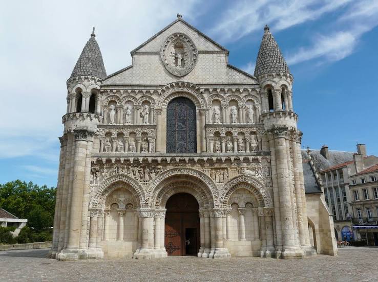
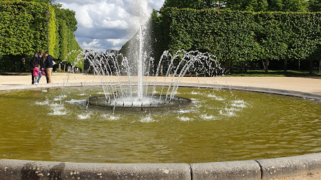
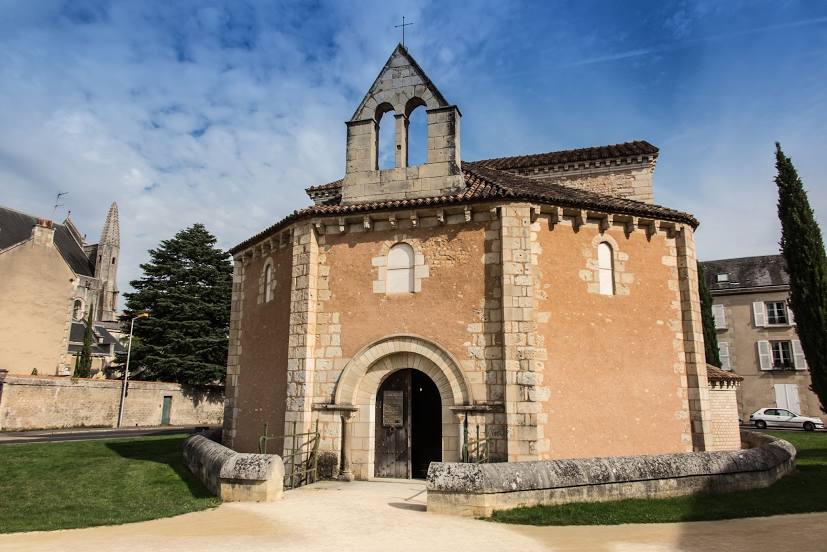
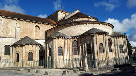
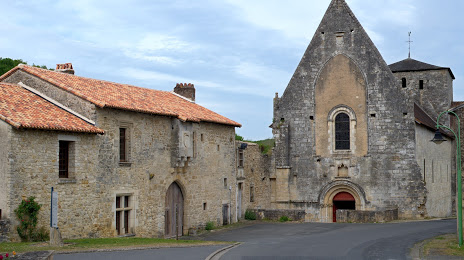
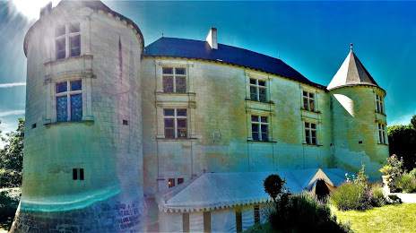
Attractions


Distance to the capital
Distance to the capital (Paris) is about — 295 km.