
 Perpignan
Meudon
Caen
Chambéry
Toulon
Vannes
Valence
Poitiers
Levallois-Perret
Brest
Muret
Val-de-Reuil
Montévrain
Meylan
Clermont
La Gaude
Courbevoie
Clichy
Cholet
Perpignan
Meudon
Caen
Chambéry
Toulon
Vannes
Valence
Poitiers
Levallois-Perret
Brest
Muret
Val-de-Reuil
Montévrain
Meylan
Clermont
La Gaude
Courbevoie
Clichy
Cholet
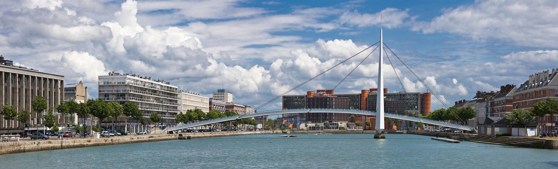
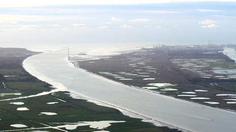
Le Havre on the map, France
Where is located Le Havre
Exact location — Le Havre, Seine-Maritime, Upper Normandy, France, marked on the map with a red marker.
Coordinates
Le Havre, France coordinates in decimal format: latitude — 49.49437, longitude — 0.107929. When converted to degrees, minutes, seconds Le Havre has the following coordinates: 49°29′39.73 north latitude and 0°6′28.54 east longitude.
Population
Le Havre, Seine-Maritime, Upper Normandy, France, according to our data the population is — 188,605 residents, which is about 0.3% of the total population of the country (France).
Comparison of the population on the graph:
Exact time
Time zone for this location Le Havre — UTC +2 Europe/Paris. Exact time — wednesday, 5 may 2024 year, 04 h. 30 minutes.
Sunrise and sunset
Le Havre, sunrise and sunset data for a date — wednesday 15.05.2024.
| Sunrise | Sunset | Day (duration) |
|---|---|---|
| 06:18 -2 minutes | 21:33 +2 minutes | 15 h. 18 minutes. +4 minutes |
You can control the scale of the map using the auxiliary tools to find out exactly where it is located Le Havre. When you change the scale of the map, the width of the ruler also changes (in kilometers and miles).
Nearby cities
The largest cities that are located nearby:
- Caen — 49 km
- Rouen — 72 km
- Eastbourne
 (United Kingdom) — 141 km
 - Amiens — 162 km
- Le Mans — 165 km
- Portsmouth (United Kingdom) — 169 km
- Boulogne-Billancourt — 171 km
- Crawley (United Kingdom) — 180 km
- Southampton (United Kingdom) — 189 km
- Bournemouth (United Kingdom) — 194 km
- Rennes — 201 km
- Sutton (United Kingdom) — 207 km
- Gillingham (United Kingdom) — 211 km
- Orléans — 221 km
- London (United Kingdom) — 223 km
- Slough (United Kingdom) — 228 km
- Angers — 228 km
- Reading (United Kingdom) — 229 km
- Southend-on-Sea (United Kingdom) — 231 km
Distance to neighboring capitals:
- London (United Kingdom) — 225 km
- Brussels
 (Belgium) — 338 km
 - Amsterdam
 (Netherlands) — 463 km
 - Bern
 (Switzerland) — 613 km
 - Vaduz
 (Liechtenstein) — 743 km
 - Andorra la Vella
 (Andorra) — 785 km
 - Berlin
 (Germany) — 988 km
 - Prague
 (Czech Republic) — 1030 km
 - Madrid
 (Spain) — 1053 km
 - Copenhagen
 (Denmark) — 1084 km
 - Vienna
 (Austria) — 1197 km
 - Rome
 (Italy) — 1277 km
 - Lisbon
 (Portugal) — 1405 km
 - Warsaw
 (Poland) — 1493 km
 - Nicosia
 — 3128 km
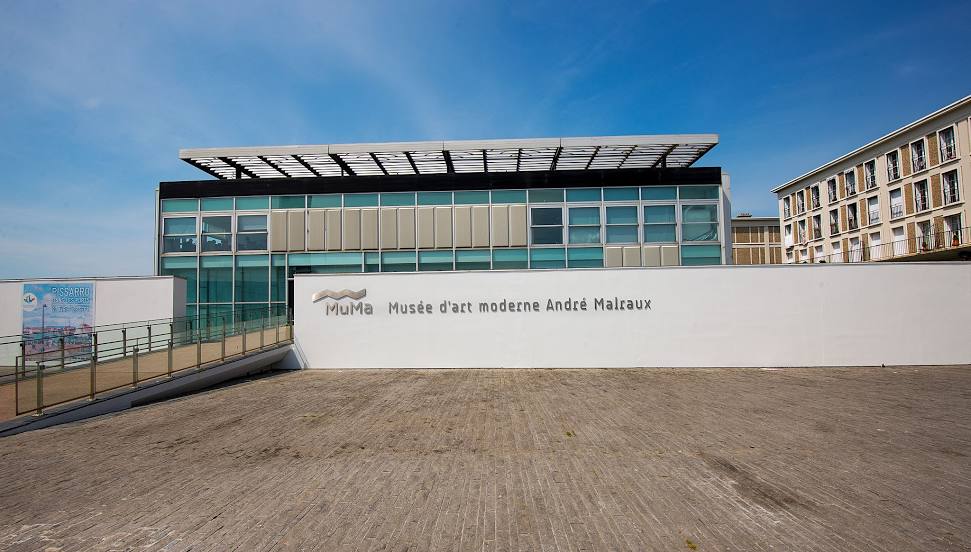
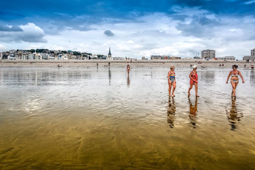
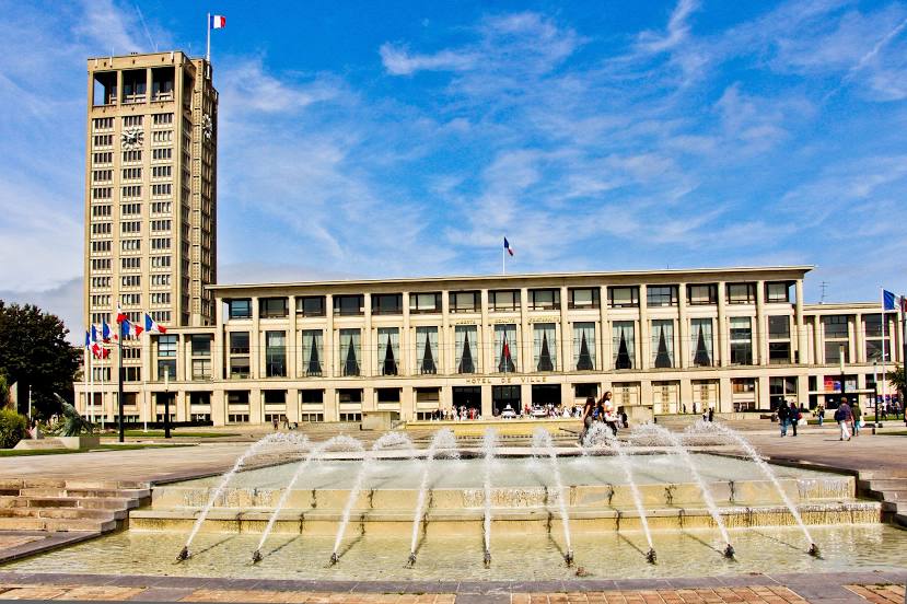
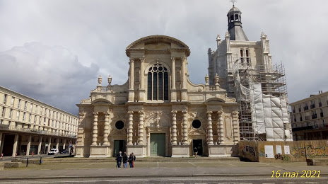
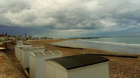
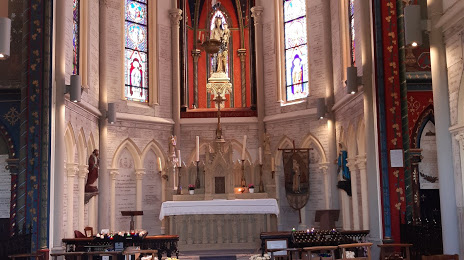
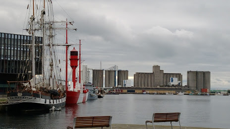
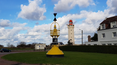
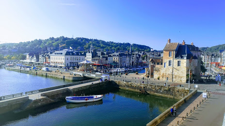
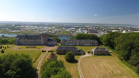
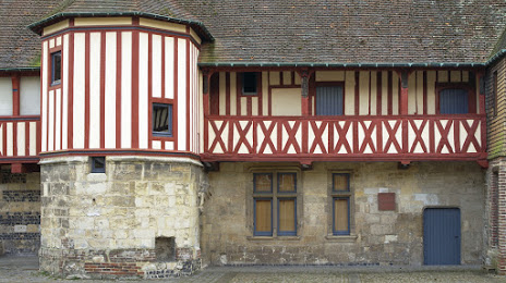
Attractions


Distance to the capital
Distance to the capital (Paris) is about — 178 km.