
 Rueil-Malmaison
Vouillé
Louveciennes
Bois d'Arcy
Échirolles
Massy
Orsay
Arcueil
Montiéramey
Limonest
Le Havre
Évry
Belfort
Gradignan
Seynod
Compiègne
Nantes
Bastia
Montauban
Rueil-Malmaison
Vouillé
Louveciennes
Bois d'Arcy
Échirolles
Massy
Orsay
Arcueil
Montiéramey
Limonest
Le Havre
Évry
Belfort
Gradignan
Seynod
Compiègne
Nantes
Bastia
Montauban
Perpignan on the map, France
Where is located Perpignan
Exact location — Perpignan, Pyrénées-Orientales, Languedoc-Roussillon, France, marked on the map with a red marker.
Coordinates
Perpignan, France coordinates in decimal format: latitude — 42.6886591, longitude — 2.8948332. When converted to degrees, minutes, seconds Perpignan has the following coordinates: 42°41′19.17 north latitude and 2°53′41.4 east longitude.
Population
Perpignan, Pyrénées-Orientales, Languedoc-Roussillon, France, according to our data the population is — 104,783 residents, which is about 0.2% of the total population of the country (France).
Comparison of the population on the graph:
Exact time
Time zone for this location Perpignan — UTC +2 Europe/Paris. Exact time — sunday, 5 may 2024 year, 00 h. 46 minutes.
Sunrise and sunset
Perpignan, sunrise and sunset data for a date — sunday 12.05.2024.
| Sunrise | Sunset | Day (duration) |
|---|---|---|
| 06:32 -1 minute | 20:57 +1 minute | 14 h. 24 minutes. +2 minutes |
You can control the scale of the map using the auxiliary tools to find out exactly where it is located Perpignan. When you change the scale of the map, the width of the ruler also changes (in kilometers and miles).
Nearby cities
The largest cities that are located nearby:
- Montpellier — 129 km
- Mataró
 (Spain) — 133 km
 - Sabadell (Spain) — 142 km
- Terrassa (Spain) — 144 km
- Badalona (Spain) — 147 km
- Santa Coloma de Gramenet (Spain) — 149 km
- Toulouse — 154 km
- L'Hospitalet de Llobregat (Spain) — 160 km
- Nimes — 173 km
- Marseille — 210 km
- Tarragona (Spain) — 221 km
- Lleida (Spain) — 222 km
- Aix-en-Provence — 225 km
- Toulon — 249 km
- Saint-Étienne — 325 km
- Zaragoza (Spain) — 333 km
- Clermont-Ferrand — 342 km
- Palma (Spain) — 345 km
- Grenoble — 354 km
Distance to neighboring capitals:
- Andorra la Vella
 (Andorra) — 114 km
 - Bern
 (Switzerland) — 594 km
 - Madrid (Spain) — 604 km
- Vaduz
 (Liechtenstein) — 719 km
 - Rome
 (Italy) — 794 km
 - Brussels
 (Belgium) — 915 km
 - London
 (United Kingdom) — 1007 km
 - Amsterdam
 (Netherlands) — 1087 km
 - Lisbon
 (Portugal) — 1105 km
 - Prague
 (Czech Republic) — 1206 km
 - Vienna
 (Austria) — 1215 km
 - Berlin
 (Germany) — 1345 km
 - Copenhagen
 (Denmark) — 1603 km
 - Warsaw
 (Poland) — 1719 km
 - Nicosia
 — 2749 km
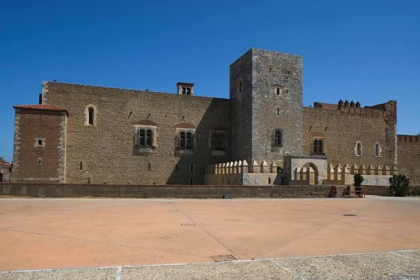
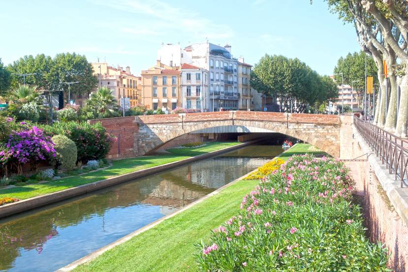
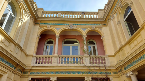
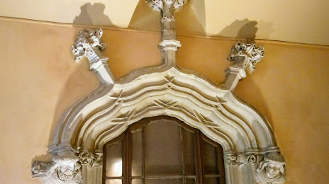
Attractions


Distance to the capital
Distance to the capital (Paris) is about — 687 km.