
 Montauban
Bastia
Nantes
Compiègne
Seynod
Gradignan
Belfort
Évry
Le Havre
Clermont-Ferrand
Ennery
Antibes
Aubagne
Quillan
Chilly-Mazarin
Saint-Maur
Lutterbach
Rouen
Tours
Montauban
Bastia
Nantes
Compiègne
Seynod
Gradignan
Belfort
Évry
Le Havre
Clermont-Ferrand
Ennery
Antibes
Aubagne
Quillan
Chilly-Mazarin
Saint-Maur
Lutterbach
Rouen
Tours
Cholet on the map, France
Where is located Cholet
Exact location — Cholet, Maine-et-Loire, Pays de la Loire, France, marked on the map with a red marker.
Coordinates
Cholet, France coordinates in decimal format: latitude — 47.059407, longitude — -0.879787. When converted to degrees, minutes, seconds Cholet has the following coordinates: 47°3′33.87 north latitude and -0°52′47.23 east longitude.
Population
Cholet, Maine-et-Loire, Pays de la Loire, France, according to our data the population is — 54,292 residents, which is about 0.1% of the total population of the country (France).
Comparison of the population on the graph:
Exact time
Time zone for this location Cholet — UTC +2 Europe/Paris. Exact time — tuesday, 5 may 2024 year, 18 h. 11 minutes.
Sunrise and sunset
Cholet, sunrise and sunset data for a date — tuesday 14.05.2024.
| Sunrise | Sunset | Day (duration) |
|---|---|---|
| 06:32 -1 minute | 21:27 +1 minute | 14 h. 54 minutes. +2 minutes |
You can control the scale of the map using the auxiliary tools to find out exactly where it is located Cholet. When you change the scale of the map, the width of the ruler also changes (in kilometers and miles).
Nearby cities
The largest cities that are located nearby:
- Angers — 52 km
- Nantes — 54 km
- Tours — 123 km
- Rennes — 131 km
- Le Mans — 132 km
- Limoges — 213 km
- Orléans — 227 km
- Caen — 238 km
- Bordeaux — 247 km
- Le Havre — 278 km
- Rouen — 300 km
- Boulogne-Billancourt — 300 km
- Brest — 303 km
- Clermont-Ferrand — 337 km
- Amiens — 386 km
- Bournemouth
 (United Kingdom) — 411 km
 - Portsmouth (United Kingdom) — 416 km
- Eastbourne (United Kingdom) — 418 km
- San Sebastián
 (Spain) — 423 km
Distance to neighboring capitals:
- London (United Kingdom) — 498 km
- Andorra la Vella
 (Andorra) — 541 km
 - Brussels
 (Belgium) — 569 km
 - Bern
 (Switzerland) — 631 km
 - Amsterdam
 (Netherlands) — 722 km
 - Madrid (Spain) — 773 km
- Vaduz
 (Liechtenstein) — 787 km
 - Lisbon
 (Portugal) — 1144 km
 - Prague
 (Czech Republic) — 1174 km
 - Berlin
 (Germany) — 1189 km
 - Rome
 (Italy) — 1204 km
 - Vienna
 (Austria) — 1297 km
 - Copenhagen
 (Denmark) — 1334 km
 - Warsaw
 (Poland) — 1670 km
 - Nicosia
 — 3127 km
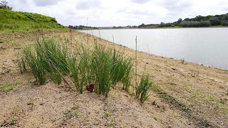
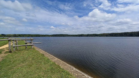
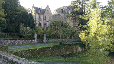
Attractions


Distance to the capital
Distance to the capital (Paris) is about — 313 km.