
 Herblay
Cholet
Clichy
Courbevoie
La Gaude
Clermont
Meylan
Montévrain
Val-de-Reuil
Versailles
Nice
La Couronne
Nancy
Avaray
Lognes
Mérignac
Besançon
Metz
Andrézieux-Bouthéon
Herblay
Cholet
Clichy
Courbevoie
La Gaude
Clermont
Meylan
Montévrain
Val-de-Reuil
Versailles
Nice
La Couronne
Nancy
Avaray
Lognes
Mérignac
Besançon
Metz
Andrézieux-Bouthéon
Antibes on the map, France
Where is located Antibes
Exact location — Antibes, Alpes-Maritimes, Provence-Alpes-Côte d'Azur, France, marked on the map with a red marker.
Coordinates
Antibes, France coordinates in decimal format: latitude — 43.580418, longitude — 7.125102. When converted to degrees, minutes, seconds Antibes has the following coordinates: 43°34′49.5 north latitude and 7°7′30.37 east longitude.
Population
Antibes, Alpes-Maritimes, Provence-Alpes-Côte d'Azur, France, according to our data the population is — 75,311 residents, which is about 0.1% of the total population of the country (France).
Comparison of the population on the graph:
Exact time
Time zone for this location Antibes — UTC +2 Europe/Paris. Exact time — thursday, 5 may 2024 year, 09 h. 41 minute.
Sunrise and sunset
Antibes, sunrise and sunset data for a date — thursday 9.05.2024.
| Sunrise | Sunset | Day (duration) |
|---|---|---|
| 06:16 -1 minute | 20:39 +1 minute | 14 h. 24 minutes. +2 minutes |
You can control the scale of the map using the auxiliary tools to find out exactly where it is located Antibes. When you change the scale of the map, the width of the ruler also changes (in kilometers and miles).
Nearby cities
The largest cities that are located nearby:
- Nice — 18 km
- Toulon — 109 km
- Aix-en-Provence — 135 km
- Marseille — 145 km
- Genoa
 (Italy) — 170 km
 - Turin (Italy) — 170 km
- Grenoble — 209 km
- Nimes — 222 km
- Novara (Italy) — 237 km
- Livorno (Italy) — 255 km
- Montpellier — 260 km
- Milan (Italy) — 263 km
- Monza (Italy) — 277 km
- Parma (Italy) — 285 km
- Saint-Étienne — 296 km
- Villeurbanne — 297 km
- Geneva
 (Switzerland) — 299 km
 - Lyon — 299 km
- Bergamo (Italy) — 306 km
Distance to neighboring capitals:
- Bern (Switzerland) — 375 km
- Vaduz
 (Liechtenstein) — 438 km
 - Andorra la Vella
 (Andorra) — 471 km
 - Rome (Italy) — 477 km
- Brussels
 (Belgium) — 835 km
 - Vienna
 (Austria) — 881 km
 - Prague
 (Czech Republic) — 911 km
 - Madrid
 (Spain) — 961 km
 - Amsterdam
 (Netherlands) — 992 km
 - London
 (United Kingdom) — 1035 km
 - Berlin
 (Germany) — 1097 km
 - Copenhagen
 (Denmark) — 1400 km
 - Warsaw
 (Poland) — 1409 km
 - Lisbon
 (Portugal) — 1462 km
 - Nicosia
 — 2430 km
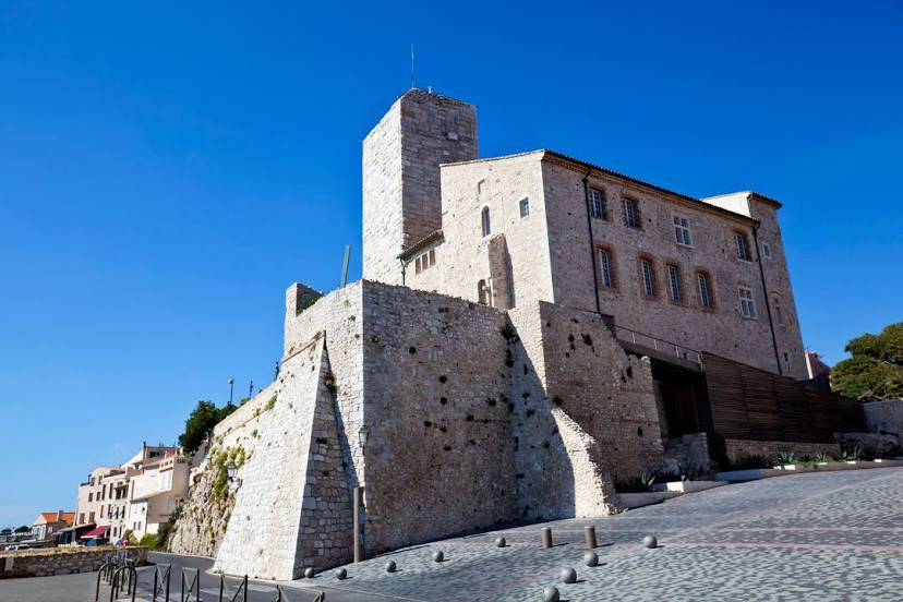
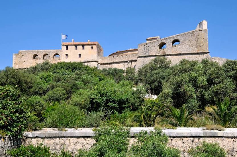
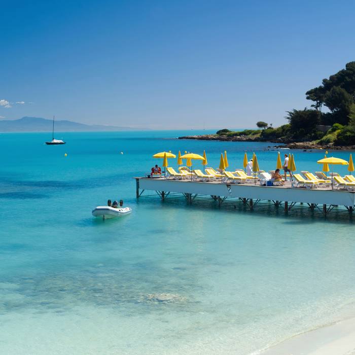
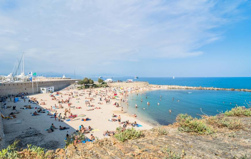
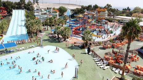
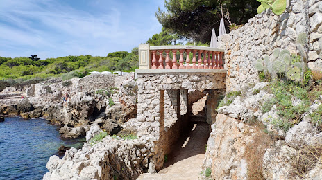
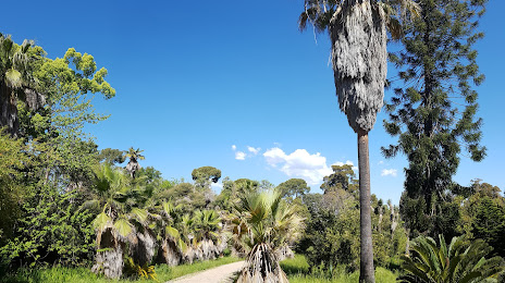
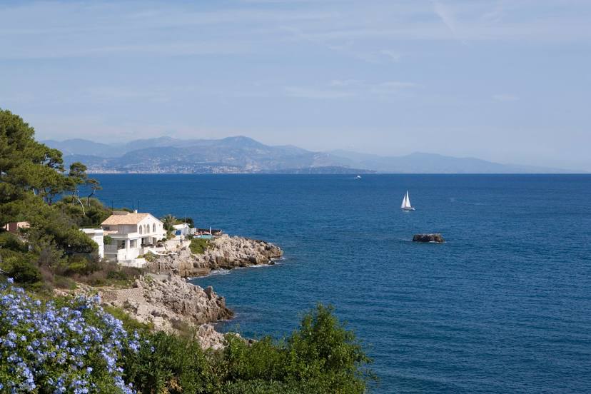
Attractions


Distance to the capital
Distance to the capital (Paris) is about — 692 km.