
 Orly
Rueil-Malmaison
Vouillé
Louveciennes
Bois d'Arcy
Échirolles
Massy
Orsay
Arcueil
Le Havre
Évry
Belfort
Gradignan
Seynod
Compiègne
Nantes
Bastia
Montauban
Rezé
Orly
Rueil-Malmaison
Vouillé
Louveciennes
Bois d'Arcy
Échirolles
Massy
Orsay
Arcueil
Le Havre
Évry
Belfort
Gradignan
Seynod
Compiègne
Nantes
Bastia
Montauban
Rezé
Lannion on the map, France
Where is located Lannion
Exact location — Lannion, Cotes-d'Armor, Brittany, France, marked on the map with a red marker.
Coordinates
Lannion, France coordinates in decimal format: latitude — 48.732084, longitude — -3.459144. When converted to degrees, minutes, seconds Lannion has the following coordinates: 48°43′55.5 north latitude and -3°27′32.92 east longitude.
Population
Lannion, Cotes-d'Armor, Brittany, France, according to our data the population is — 19,495 residents, which is about 0% of the total population of the country (France).
Comparison of the population on the graph:
Exact time
Time zone for this location Lannion — UTC +2 Europe/Paris. Exact time — saturday, 5 may 2024 year, 14 h. 08 minutes.
Sunrise and sunset
Lannion, sunrise and sunset data for a date — saturday 11.05.2024.
| Sunrise | Sunset | Day (duration) |
|---|---|---|
| 06:41 -1 minute | 21:39 +1 minute | 15 h. 0 minutes. +2 minutes |
You can control the scale of the map using the auxiliary tools to find out exactly where it is located Lannion. When you change the scale of the map, the width of the ruler also changes (in kilometers and miles).
Nearby cities
The largest cities that are located nearby:
- Brest — 84 km
- Rennes — 148 km
- Exeter
 (United Kingdom) — 220 km
 - Nantes — 220 km
- Caen — 229 km
- Bournemouth (United Kingdom) — 246 km
- Angers — 257 km
- Le Havre — 270 km
- Southampton (United Kingdom) — 280 km
- Le Mans — 282 km
- Portsmouth (United Kingdom) — 284 km
- Bristol (Great Britain) — 307 km
- Swindon (United Kingdom) — 333 km
- Rouen — 337 km
- Tours — 344 km
- Eastbourne (United Kingdom) — 346 km
- Reading (United Kingdom) — 346 km
- Crawley (United Kingdom) — 347 km
- Cheltenham (United Kingdom) — 363 km
Distance to neighboring capitals:
- London (United Kingdom) — 389 km
- Brussels
 (Belgium) — 608 km
 - Amsterdam
 (Netherlands) — 715 km
 - Andorra la Vella
 (Andorra) — 793 km
 - Bern
 (Switzerland) — 837 km
 - Madrid
 (Spain) — 925 km
 - Vaduz
 (Liechtenstein) — 982 km
 - Lisbon
 (Portugal) — 1202 km
 - Berlin
 (Germany) — 1259 km
 - Prague
 (Czech Republic) — 1301 km
 - Copenhagen
 (Denmark) — 1333 km
 - Rome
 (Italy) — 1457 km
 - Vienna
 (Austria) — 1460 km
 - Warsaw
 (Poland) — 1766 km
 - Nicosia
 — 3356 km
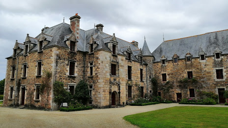
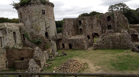
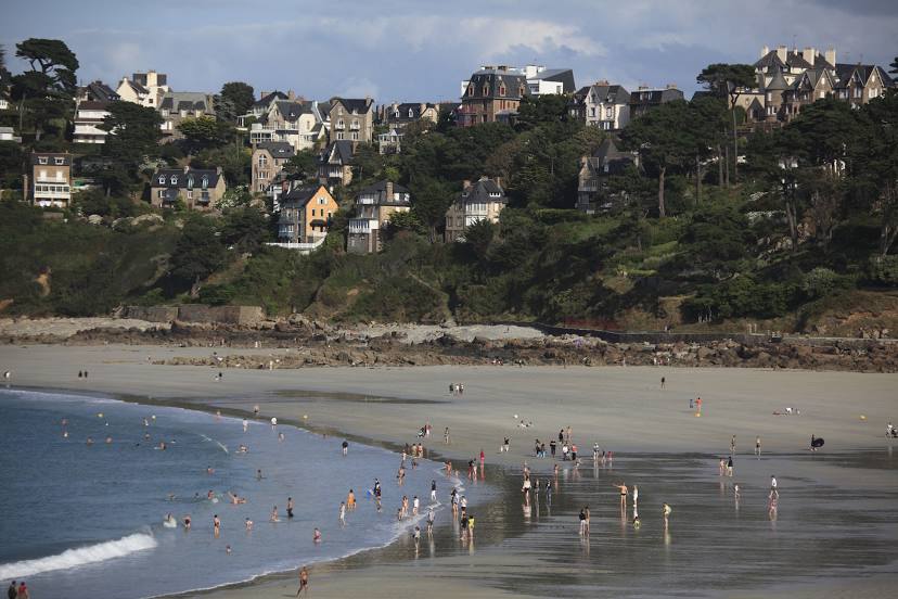
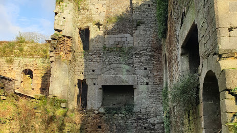
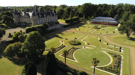
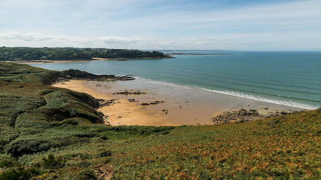
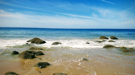
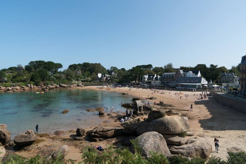
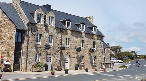
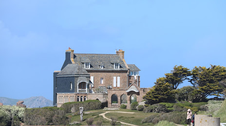
Attractions


Distance to the capital
Distance to the capital (Paris) is about — 426 km.