
 Massy
Orsay
Arcueil
Montiéramey
Châtenay-Malabry
Marne-la-Vallée
Alès
Le Chesnay
Saint-Mandé
Châtillon
Colombes
LFAI
Apremont
Angers
Limonest
Le Havre
Évry
Belfort
Gradignan
Massy
Orsay
Arcueil
Montiéramey
Châtenay-Malabry
Marne-la-Vallée
Alès
Le Chesnay
Saint-Mandé
Châtillon
Colombes
LFAI
Apremont
Angers
Limonest
Le Havre
Évry
Belfort
Gradignan
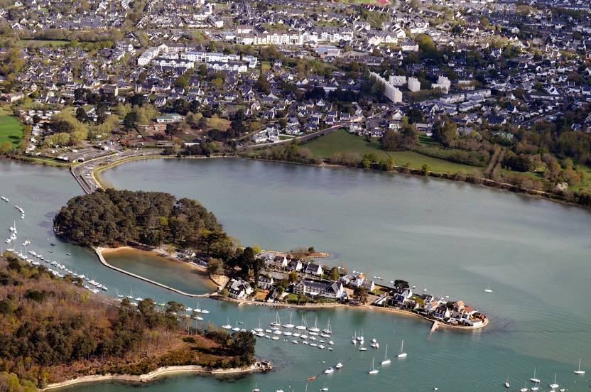
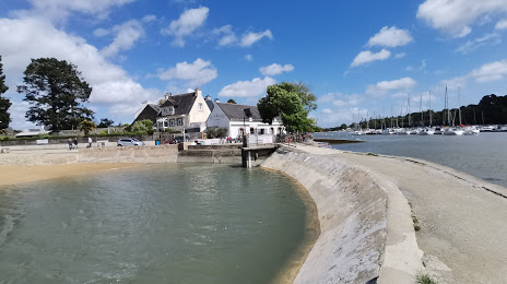
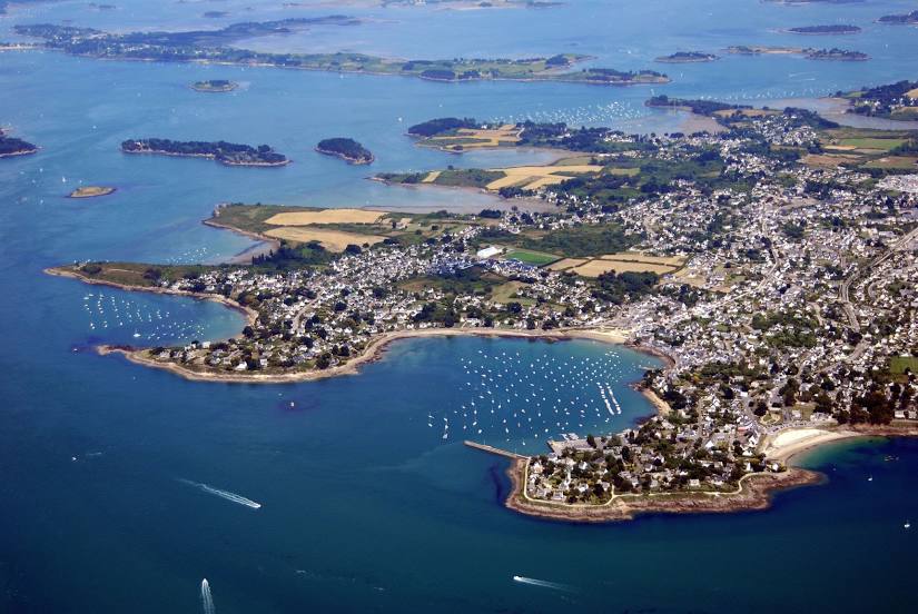
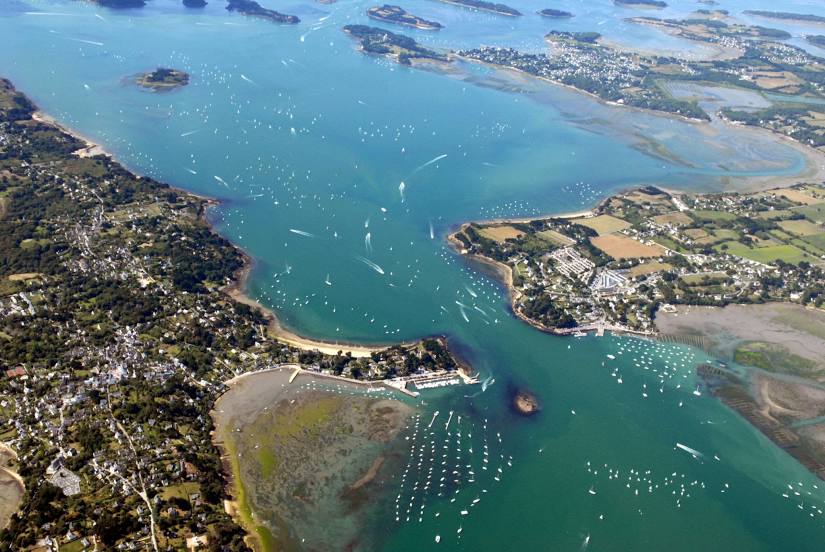
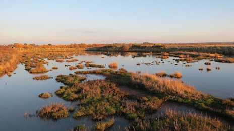
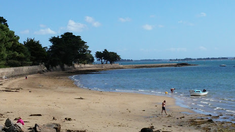
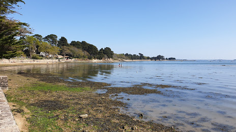
Vannes on the map, France
Where is located Vannes
Exact location — Vannes, Morbihan, Brittany, France, marked on the map with a red marker.
Coordinates
Vannes, France coordinates in decimal format: latitude — 47.658236, longitude — -2.760847. When converted to degrees, minutes, seconds Vannes has the following coordinates: 47°39′29.65 north latitude and -2°45′39.05 east longitude.
Population
Vannes, Morbihan, Brittany, France, according to our data the population is — 56,649 residents, which is about 0.1% of the total population of the country (France).
Comparison of the population on the graph:
Exact time
Time zone for this location Vannes — UTC +2 Europe/Paris. Exact time — thursday, 5 may 2024 year, 09 h. 48 minutes.
Sunrise and sunset
Vannes, sunrise and sunset data for a date — thursday 9.05.2024.
| Sunrise | Sunset | Day (duration) |
|---|---|---|
| 06:44 -1 minute | 21:30 +1 minute | 14 h. 48 minutes. +2 minutes |
You can control the scale of the map using the auxiliary tools to find out exactly where it is located Vannes. When you change the scale of the map, the width of the ruler also changes (in kilometers and miles).
Nearby cities
The largest cities that are located nearby:
- Rennes — 95 km
- Nantes — 103 km
- Brest — 150 km
- Angers — 165 km
- Le Mans — 222 km
- Caen — 241 km
- Tours — 260 km
- Le Havre — 289 km
- Rouen — 341 km
- Exeter
 (United Kingdom) — 343 km
 - Bournemouth (United Kingdom) — 344 km
- Orléans — 347 km
- Bordeaux — 356 km
- Portsmouth (United Kingdom) — 369 km
- Limoges — 370 km
- Southampton (United Kingdom) — 372 km
- Boulogne-Billancourt — 387 km
- Eastbourne (United Kingdom) — 405 km
- Bristol (Great Britain) — 420 km
Distance to neighboring capitals:
- London (United Kingdom) — 468 km
- Brussels
 (Belgium) — 626 km
 - Andorra la Vella
 (Andorra) — 664 km
 - Amsterdam
 (Netherlands) — 757 km
 - Bern
 (Switzerland) — 773 km
 - Madrid
 (Spain) — 809 km
 - Vaduz
 (Liechtenstein) — 925 km
 - Lisbon
 (Portugal) — 1120 km
 - Berlin
 (Germany) — 1270 km
 - Prague
 (Czech Republic) — 1284 km
 - Rome
 (Italy) — 1361 km
 - Copenhagen
 (Denmark) — 1378 km
 - Vienna
 (Austria) — 1424 km
 - Warsaw
 (Poland) — 1767 km
 - Nicosia
 — 3280 km
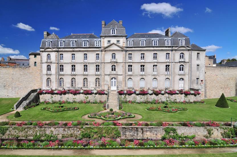
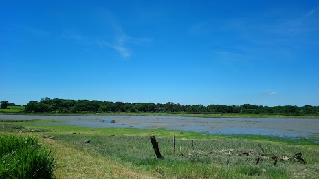
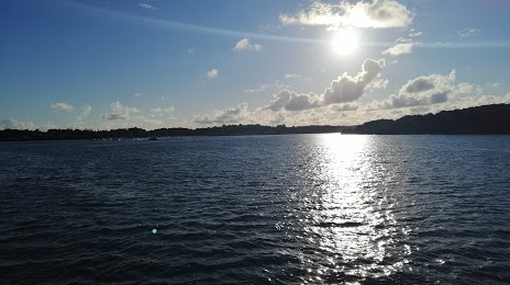
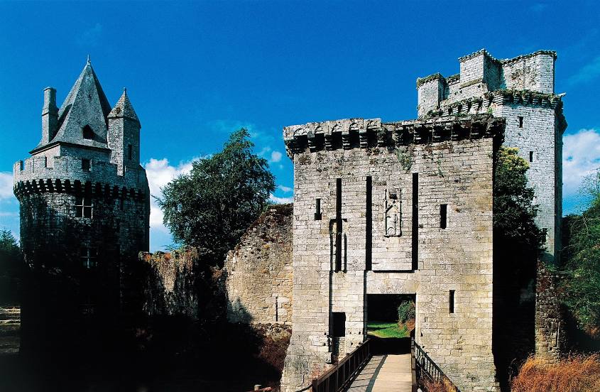
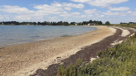
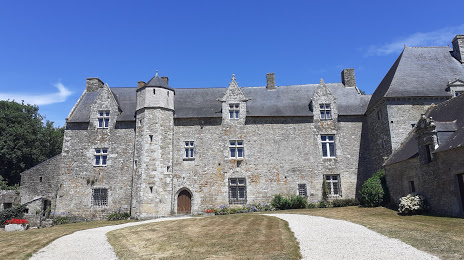
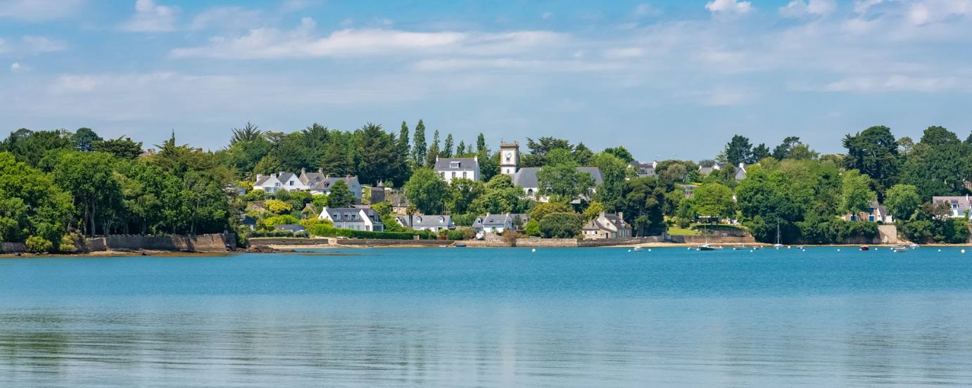
Attractions


Distance to the capital
Distance to the capital (Paris) is about — 401 km.