Simi Valley — Saint Joseph
Simi Valley — Pismo Beach
Simi Valley — McCall
Simi Valley — Bridgeport
Simi Valley — Woodway
Simi Valley — Shreveport
Simi Valley — Skwentna
Simi Valley — Yorba Linda
Simi Valley — Portageville
Simi Valley — Blaine
Simi Valley — McCloud Airstrip
Simi Valley — Monkton
Simi Valley — Oregonia
Simi Valley — Higden
Simi Valley — Heimdal
Simi Valley — Burlington
Simi Valley — Lakemont
Simi Valley — Norm
Simi Valley — Miles
Simi Valley — Des Moines distance, route on the map
Distance by car
Distance between Simi Valley, California, United States and Des Moines, Iowa, United States by car is — km, or miles. To travel this distance by car, you need minute, or h.
Route on the map, driving directions
Car route Simi Valley — Des Moines was created automatically. The road on the map is shown as a blue line. By moving the markers, you can create a new route through the points you need.
Distance by plane
If you decide to take a trip Simi Valley Des Moines by plane, then you have to fly the distance — 2344 km or 1453 miles. It is marked on the map with a gray line (between two points in a straight line).
Flight time
Estimated flight time Simi Valley Des Moines by plane at cruising speed 750 km / h will be — 3 h. and 7 min.
Direction of movement
United States, Simi Valley — right-hand traffic. United States, Des Moines — right-hand traffic.
Difference in time
Simi Valley and Des Moines are in different time zones. The time difference is 2 hours (UTC -7 America/Los_Angeles, UTC -5 America/Chicago).
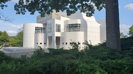
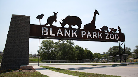
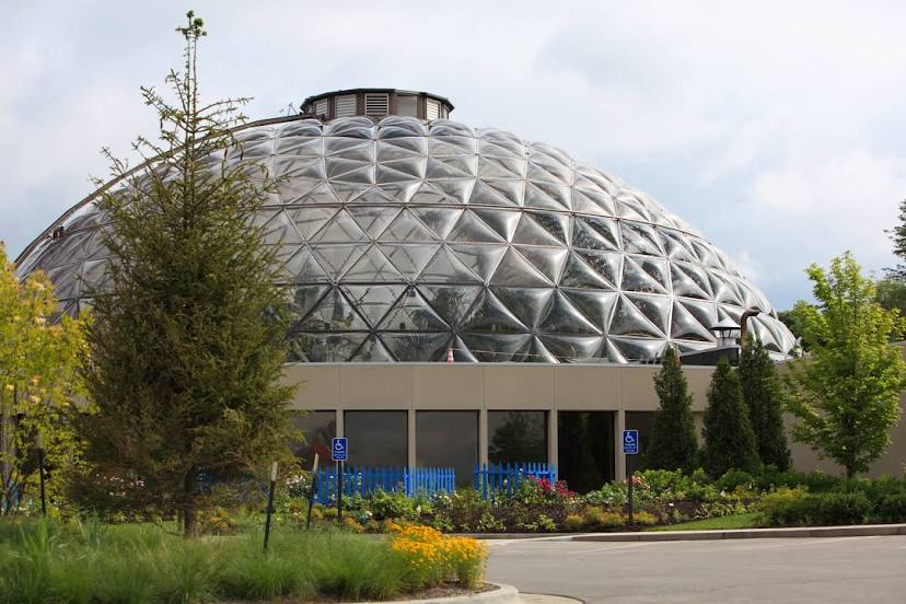
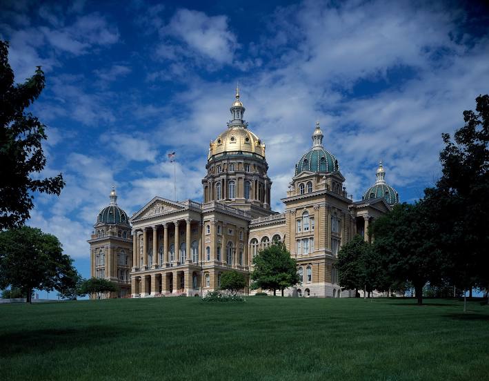
Interesting Facts
Information on alternative ways to get to your destination.
The length of this distance is about 5.8% of the total length of the equator.
The percentage of the population is clearly shown in the graph:
Simi Valley — 119,417 (less by 73,763), Des Moines — 193,180 residents.
The cost of travel
Calculate the cost of the trip yourself using the fuel consumption calculator, changing the data in the table.
Calculate the cost of other distances from the starting point — Simi Valley.