Aurora — Dawson Springs
Aurora — Haxtun
Aurora — Cedar Creek
Aurora — Fort Lee
Aurora — Bowling Green
Aurora — Burlingame
Aurora — Roan Mountain
Aurora — Bergland Township
Aurora — Buda
Aurora — Newfoundland
Aurora — Granbury
Aurora — Everson
Aurora — Chamberlain
Aurora — Loraine
Aurora — Ridley Park
Aurora — Laurel County
Aurora — Roseland
Aurora — Fort Scott
Aurora — Perkins County
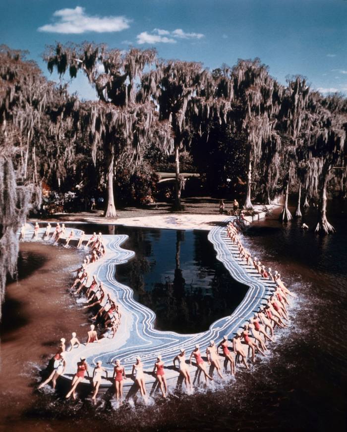
Aurora — Winter Haven distance, route on the map
Distance by car
Distance between Aurora, Colorado, United States and Winter Haven, Florida, United States by car is — km, or miles. To travel this distance by car, you need minute, or h.
Route on the map, driving directions
Car route Aurora — Winter Haven was created automatically. The road on the map is shown as a blue line. By moving the markers, you can create a new route through the points you need.
Distance by plane
If you decide to take a trip Aurora Winter Haven by plane, then you have to fly the distance — 2488 km or 1543 miles. It is marked on the map with a gray line (between two points in a straight line).
Flight time
Estimated flight time Aurora Winter Haven by plane at cruising speed 750 km / h will be — 3 h. and 19 min.
Direction of movement
United States, Aurora — right-hand traffic. United States, Winter Haven — right-hand traffic.
Difference in time
Aurora and Winter Haven are in different time zones. The time difference is 2 hours (UTC -6 America/Denver, UTC -4 America/New_York).
Interesting Facts
Information on alternative ways to get to your destination.
The length of this distance is about 6.2% of the total length of the equator.
The percentage of the population is clearly shown in the graph:
Aurora — 299,780, Winter Haven — 33,874 residents (less by 265,906).
The cost of travel
Calculate the cost of the trip yourself using the fuel consumption calculator, changing the data in the table.
Calculate the cost of other distances from the starting point — Aurora.