Sacramento — Cloverport
Sacramento — Glen Carbon
Sacramento — Shandon
Sacramento — Hawley
Sacramento — Maysville
Sacramento — Coal Mountain
Sacramento — Alden
Sacramento — Brush
Sacramento — Cantwell
Sacramento — Pesotum
Sacramento — Leland
Sacramento — Vesuvius
Sacramento — Abbottstown
Sacramento — Bennington
Sacramento — Hitchcock
Sacramento — Quebec
Sacramento — Melbourne
Sacramento — Jenner
Sacramento — Wolfe City
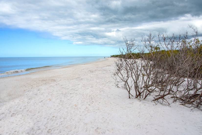
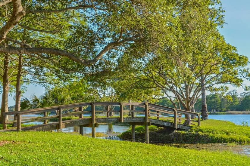
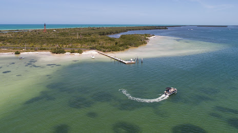
Sacramento — Palm Harbor distance, route on the map
Distance by car
Distance between Sacramento, California, United States and Palm Harbor, Florida, United States by car is — km, or miles. To travel this distance by car, you need minute, or h.
Route on the map, driving directions
Car route Sacramento — Palm Harbor was created automatically. The road on the map is shown as a blue line. By moving the markers, you can create a new route through the points you need.
Distance by plane
If you decide to take a trip Sacramento Palm Harbor by plane, then you have to fly the distance — 3753 km or 2327 miles. It is marked on the map with a gray line (between two points in a straight line).
Flight time
Estimated flight time Sacramento Palm Harbor by plane at cruising speed 750 km / h will be — 5 h.
Direction of movement
United States, Sacramento — right-hand traffic. United States, Palm Harbor — right-hand traffic.
Difference in time
Sacramento and Palm Harbor are in different time zones. The time difference is 3 hours (UTC -7 America/Los_Angeles, UTC -4 America/New_York).
Interesting Facts
Information on alternative ways to get to your destination.
The length of this distance is about 9.4% of the total length of the equator.
The percentage of the population is clearly shown in the graph:
Sacramento — 467,898, Palm Harbor — 64,502 residents (less by 403,396).
The cost of travel
Calculate the cost of the trip yourself using the fuel consumption calculator, changing the data in the table.
Calculate the cost of other distances from the starting point — Sacramento.