Elizabeth — Pennsylvania Furnace
Elizabeth — Ulysses Airport
Elizabeth — Hattiesburg
Elizabeth — Carson City
Elizabeth — Clermont
Elizabeth — Ard
Elizabeth — Andover
Elizabeth — Grand Blanc
Elizabeth — Onalaska
Elizabeth — Diablo
Elizabeth — Wardville
Elizabeth — Midlothian
Elizabeth — New Shoreham
Elizabeth — Dayton
Elizabeth — Wolfforth
Elizabeth — Marble Canyon
Elizabeth — West Frankfort
Elizabeth — Portland
Elizabeth — Pulaski
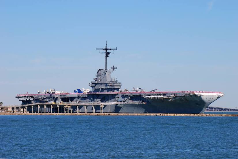
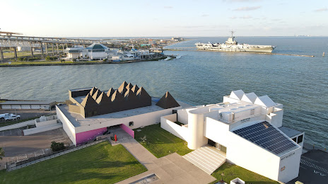
Elizabeth — Corpus Christi distance, route on the map
Distance by car
Distance between Elizabeth, New Jersey, United States and Corpus Christi, Texas, United States by car is — km, or miles. To travel this distance by car, you need minute, or h.
Route on the map, driving directions
Car route Elizabeth — Corpus Christi was created automatically. The road on the map is shown as a blue line. By moving the markers, you can create a new route through the points you need.
Distance by plane
If you decide to take a trip Elizabeth Corpus Christi by plane, then you have to fly the distance — 2555 km or 1584 miles. It is marked on the map with a gray line (between two points in a straight line).
Flight time
Estimated flight time Elizabeth Corpus Christi by plane at cruising speed 750 km / h will be — 3 h. and 24 min.
Direction of movement
United States, Elizabeth — right-hand traffic. United States, Corpus Christi — right-hand traffic.
Difference in time
Elizabeth and Corpus Christi are in different time zones. The time difference is 1 hour (UTC -4 America/New_York, UTC -5 America/Chicago).
Interesting Facts
Information on alternative ways to get to your destination.
The length of this distance is about 6.4% of the total length of the equator.
The percentage of the population is clearly shown in the graph:
Elizabeth — 123,913 (less by 156,469), Corpus Christi — 280,382 residents.
The cost of travel
Calculate the cost of the trip yourself using the fuel consumption calculator, changing the data in the table.
Calculate the cost of other distances from the starting point — Elizabeth.