North Las Vegas — Delray Beach
North Las Vegas — Richvale
North Las Vegas — Warren
North Las Vegas — Rising Fawn
North Las Vegas — Hoboken
North Las Vegas — McCormick
North Las Vegas — Kewanna
North Las Vegas — Oacoma
North Las Vegas — Fort Greely
North Las Vegas — Kittery
North Las Vegas — Farmington
North Las Vegas — Newberry
North Las Vegas — Smithland
North Las Vegas — Burlington
North Las Vegas — Wellsville
North Las Vegas — Ferry County
North Las Vegas — Levant
North Las Vegas — Pisgah Forest
North Las Vegas — Williamstown
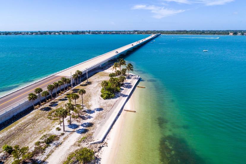
North Las Vegas — Cape Coral distance, route on the map
Distance by car
Distance between North Las Vegas, Nevada, United States and Cape Coral, Florida, United States by car is — km, or miles. To travel this distance by car, you need minute, or h.
Route on the map, driving directions
Car route North Las Vegas — Cape Coral was created automatically. The road on the map is shown as a blue line. By moving the markers, you can create a new route through the points you need.
Distance by plane
If you decide to take a trip North Las Vegas Cape Coral by plane, then you have to fly the distance — 3308 km or 2051 miles. It is marked on the map with a gray line (between two points in a straight line).
Flight time
Estimated flight time North Las Vegas Cape Coral by plane at cruising speed 750 km / h will be — 4 h. and 24 min.
Direction of movement
United States, North Las Vegas — right-hand traffic. United States, Cape Coral — right-hand traffic.
Difference in time
North Las Vegas and Cape Coral are in different time zones. The time difference is 3 hours (UTC -7 America/Los_Angeles, UTC -4 America/New_York).
Interesting Facts
Information on alternative ways to get to your destination.
The length of this distance is about 8.3% of the total length of the equator.
The percentage of the population is clearly shown in the graph:
North Las Vegas — 165,416, Cape Coral — 130,807 residents (less by 34,609).
The cost of travel
Calculate the cost of the trip yourself using the fuel consumption calculator, changing the data in the table.
Calculate the cost of other distances from the starting point — North Las Vegas.