Ann Arbor — Allensville
Ann Arbor — Bald Knob
Ann Arbor — Mazomanie
Ann Arbor — Bethel Park
Ann Arbor — San Ildefonso Pueblo
Ann Arbor — Barnhill
Ann Arbor — Farwell
Ann Arbor — Taftsville
Ann Arbor — Warwick
Ann Arbor — Newberg
Ann Arbor — Carteret
Ann Arbor — Lacota
Ann Arbor — Neillsville
Ann Arbor — Rome
Ann Arbor — Golden Valley County
Ann Arbor — Boonville
Ann Arbor — Wapakoneta
Ann Arbor — Point Pleasant
Ann Arbor — Mount Pleasant
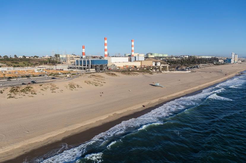
Ann Arbor — Inglewood distance, route on the map
Distance by car
Distance between Ann Arbor, Michigan, United States and Inglewood, California, United States by car is — km, or miles. To travel this distance by car, you need minute, or h.
Route on the map, driving directions
Car route Ann Arbor — Inglewood was created automatically. The road on the map is shown as a blue line. By moving the markers, you can create a new route through the points you need.
Distance by plane
If you decide to take a trip Ann Arbor Inglewood by plane, then you have to fly the distance — 3142 km or 1948 miles. It is marked on the map with a gray line (between two points in a straight line).
Flight time
Estimated flight time Ann Arbor Inglewood by plane at cruising speed 750 km / h will be — 4 h. and 11 min.
Direction of movement
United States, Ann Arbor — right-hand traffic. United States, Inglewood — right-hand traffic.
Difference in time
Ann Arbor and Inglewood are in different time zones. The time difference is 3 hours (UTC -4 America/New_York, UTC -7 America/Los_Angeles).
Interesting Facts
Information on alternative ways to get to your destination.
The length of this distance is about 7.8% of the total length of the equator.
The percentage of the population is clearly shown in the graph:
Ann Arbor — 113,810 (less by 2,348), Inglewood — 116,158 residents.
The cost of travel
Calculate the cost of the trip yourself using the fuel consumption calculator, changing the data in the table.
Calculate the cost of other distances from the starting point — Ann Arbor.