 Orlando
Carlsbad
Chillicothe
Mountainair
Hobbs
Bethesda
Denver
Portland
Baton Rouge
Woodland Park
Scottsdale
Jackson
Eads
New Orleans
Colorado Springs
North Salt Lake
Salt Lake City
Alpharetta
Clearfield
Orlando
Carlsbad
Chillicothe
Mountainair
Hobbs
Bethesda
Denver
Portland
Baton Rouge
Woodland Park
Scottsdale
Jackson
Eads
New Orleans
Colorado Springs
North Salt Lake
Salt Lake City
Alpharetta
Clearfield
Inglewood on the map, United States
Where is located Inglewood
Exact location — Inglewood, Los Angeles County, California, United States, marked on the map with a red marker.
Coordinates
Inglewood, United States coordinates in decimal format: latitude — 33.9616801, longitude — -118.3531311. When converted to degrees, minutes, seconds Inglewood has the following coordinates: 33°57′42.05 north latitude and -118°21′11.27 east longitude.
Population
Inglewood, Los Angeles County, California, United States, according to our data the population is — 116,158 residents, which is about 0% of the total population of the country (United States).
Comparison of the population on the graph:
Exact time
Time zone for this location Inglewood — UTC -7 America/Los_Angeles. Exact time — friday, 4 april 2024 year, 08 h. 17 minutes.
Sunrise and sunset
Inglewood, sunrise and sunset data for a date — friday 26.04.2024.
| Sunrise | Sunset | Day (duration) |
|---|---|---|
| 06:11 -1 minute | 19:30 +1 minute | 13 h. 18 minutes. +2 minutes |
You can control the scale of the map using the auxiliary tools to find out exactly where it is located Inglewood. When you change the scale of the map, the width of the ruler also changes (in kilometers and miles).
Nearby cities
The largest cities that are located nearby:
- Torrance — 14 km
- Los Angeles — 14 km
- East Los Angeles — 18 km
- Universal City — 20 km
- Downey — 20 km
- Glendale — 22 km
- Burbank — 25 km
- Norwalk — 26 km
- Long Beach — 26 km
- Pasadena — 28 km
- El Monte — 32 km
- West Covina — 40 km
- Fullerton — 41 km
- Anaheim — 43 km
- Garden Grove — 43 km
- Huntington Beach — 47 km
- Orange — 50 km
- Thousand Oaks — 50 km
- Santa Clarita — 51 km
Distance to neighboring capitals:
- Mexico City
 (Mexico) — 2494 km
 - Belmopan
 (Belize) — 3481 km
 - Guatemala City
 (Guatemala) — 3526 km
 - Ottawa
 (Canada) — 3816 km
 - Nuuk
 (Greenland) — 5532 km
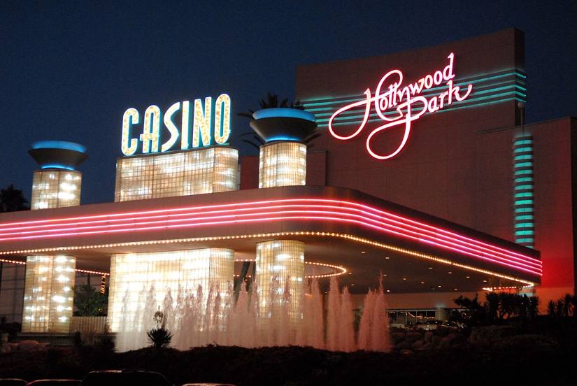
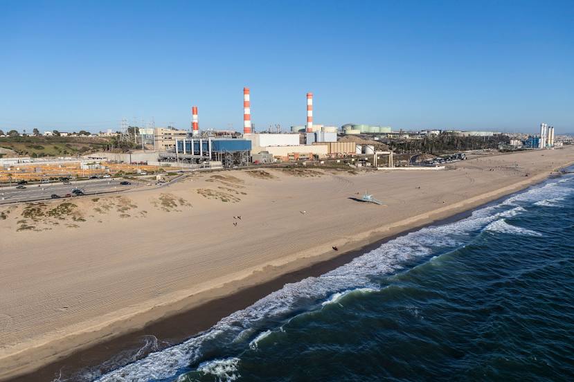
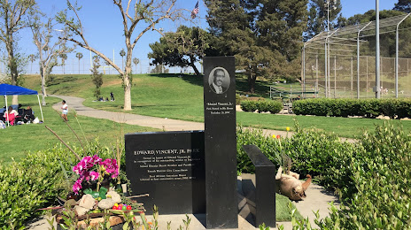
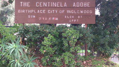
Attractions


Distance to the capital
Distance to the capital (Washington) is about — 3706 km.