Virginia Beach — Eldridge
Virginia Beach — Holland
Virginia Beach — Mooreville
Virginia Beach — Northville
Virginia Beach — Juntura
Virginia Beach — Crompond
Virginia Beach — Bethune
Virginia Beach — Arbela
Virginia Beach — Hot water
Virginia Beach — Freelandville
Virginia Beach — Muscatine
Virginia Beach — Wolcott
Virginia Beach — Mott
Virginia Beach — Coulee Dam
Virginia Beach — Luling
Virginia Beach — Wheatland
Virginia Beach — Colesburg
Virginia Beach — Brisbane
Virginia Beach — Vera
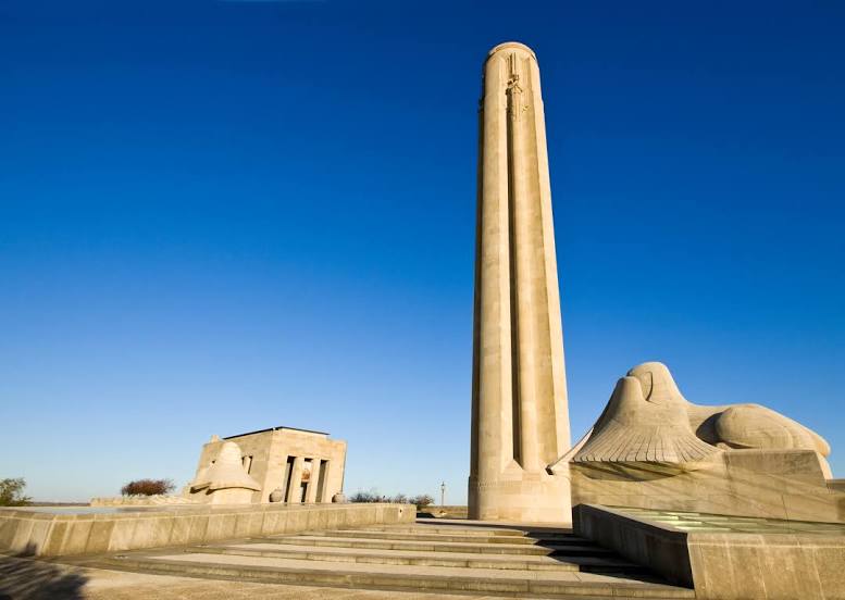
Virginia Beach — Kansas City distance, route on the map
Distance by car
Distance between Virginia Beach, Virginia, United States and Kansas City, Missouri, United States by car is — km, or miles. To travel this distance by car, you need minute, or h.
Route on the map, driving directions
Car route Virginia Beach — Kansas City was created automatically. The road on the map is shown as a blue line. By moving the markers, you can create a new route through the points you need.
Distance by plane
If you decide to take a trip Virginia Beach Kansas City by plane, then you have to fly the distance — 1647 km or 1021 miles. It is marked on the map with a gray line (between two points in a straight line).
Flight time
Estimated flight time Virginia Beach Kansas City by plane at cruising speed 750 km / h will be — 2 h. and 11 min.
Direction of movement
United States, Virginia Beach — right-hand traffic. United States, Kansas City — right-hand traffic.
Difference in time
Virginia Beach and Kansas City are in different time zones. The time difference is 1 hour (UTC -4 America/New_York, UTC -5 America/Chicago).
Interesting Facts
Information on alternative ways to get to your destination.
The length of this distance is about 4.1% of the total length of the equator.
The percentage of the population is clearly shown in the graph:
Virginia Beach — 449,386, Kansas City — 442,028 residents (less by 7,358).
The cost of travel
Calculate the cost of the trip yourself using the fuel consumption calculator, changing the data in the table.
Calculate the cost of other distances from the starting point — Virginia Beach.