 Kirkland
Warsaw
Enumclaw
Newport
Canonsburg
Loganville
Hanover
Belcamp
Saint Michaels
Twain Harte
Blackfoot
Carlin
Tunica Resorts
Dahlonega
Boyce
Norwalk
Mount Vernon
Riverton
Cassville
Kirkland
Warsaw
Enumclaw
Newport
Canonsburg
Loganville
Hanover
Belcamp
Saint Michaels
Twain Harte
Blackfoot
Carlin
Tunica Resorts
Dahlonega
Boyce
Norwalk
Mount Vernon
Riverton
Cassville
Cedar Park on the map, United States
Where is located Cedar Park
Exact location — Cedar Park, Williamson County, Texas, United States, marked on the map with a red marker.
Coordinates
Cedar Park, United States coordinates in decimal format: latitude — 30.505198, longitude — -97.8202888. When converted to degrees, minutes, seconds Cedar Park has the following coordinates: 30°30′18.71 north latitude and -97°49′13.04 east longitude.
Population
Cedar Park, Williamson County, Texas, United States, according to our data the population is — 51,695 residents, which is about 0% of the total population of the country (United States).
Comparison of the population on the graph:
Exact time
Time zone for this location Cedar Park — UTC -5 America/Chicago. Exact time — friday, 4 april 2024 year, 17 h. 26 minutes.
Sunrise and sunset
Cedar Park, sunrise and sunset data for a date — friday 26.04.2024.
| Sunrise | Sunset | Day (duration) |
|---|---|---|
| 06:54 -1 minute | 20:03 -0 minutes | 13 h. 12 minutes. +1 minute |
You can control the scale of the map using the auxiliary tools to find out exactly where it is located Cedar Park. When you change the scale of the map, the width of the ruler also changes (in kilometers and miles).
Nearby cities
The largest cities that are located nearby:
- Austin — 27 km
- Killeen — 68 km
- Waco — 132 km
- San Antonio — 136 km
- Houston — 249 km
- Fort Worth — 253 km
- Arlington — 255 km
- Grand Prairie — 259 km
- Irving — 268 km
- Dallas — 269 km
- Mesquite — 275 km
- Abilene — 279 km
- Carrollton — 286 km
- Garland — 288 km
- Richardson — 288 km
- Plano — 297 km
- Corpus Christi — 302 km
- Denton — 306 km
- Frisco — 307 km
Distance to neighboring capitals:
- Mexico City
 (Mexico) — 1239 km
 - Belmopan
 (Belize) — 1736 km
 - Guatemala City
 (Guatemala) — 1918 km
 - Ottawa
 (Canada) — 2537 km
 - Nuuk
 (Greenland) — 4913 km
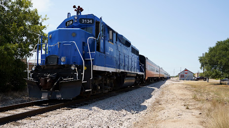
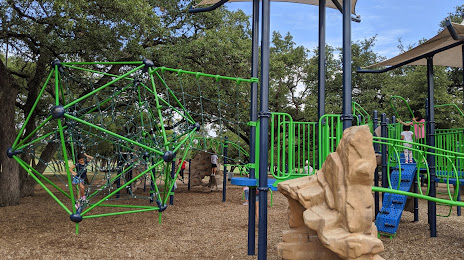
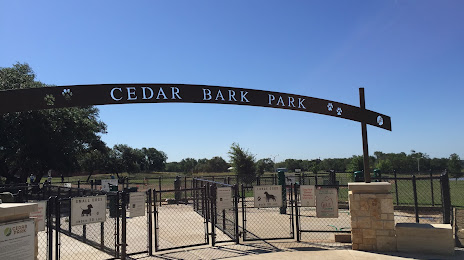
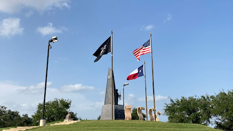
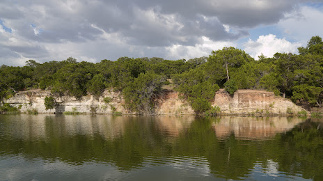
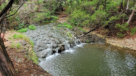
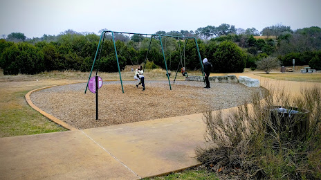
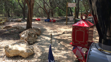
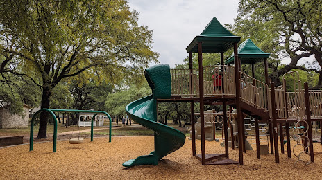
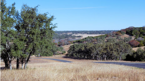
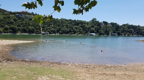
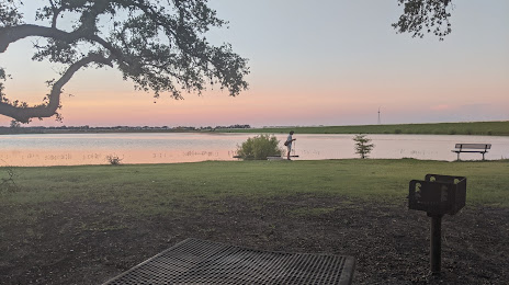
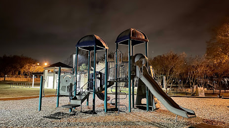
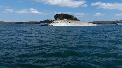
Attractions


Distance to the capital
Distance to the capital (Washington) is about — 2111 km.