Santa Rosa — Bennington
Santa Rosa — Abbyville
Santa Rosa — Soldotna
Santa Rosa — Washington
Santa Rosa — Perryville
Santa Rosa — Ocean City
Santa Rosa — Clarksville
Santa Rosa — Joyce
Santa Rosa — Montevallo
Santa Rosa — Mechanicsville
Santa Rosa — Abilene
Santa Rosa — Sardis
Santa Rosa — Fenton
Santa Rosa — SeaTac
Santa Rosa — Washington
Santa Rosa — Conconully
Santa Rosa — Sparr
Santa Rosa — Fort Dodge
Santa Rosa — Heath Springs
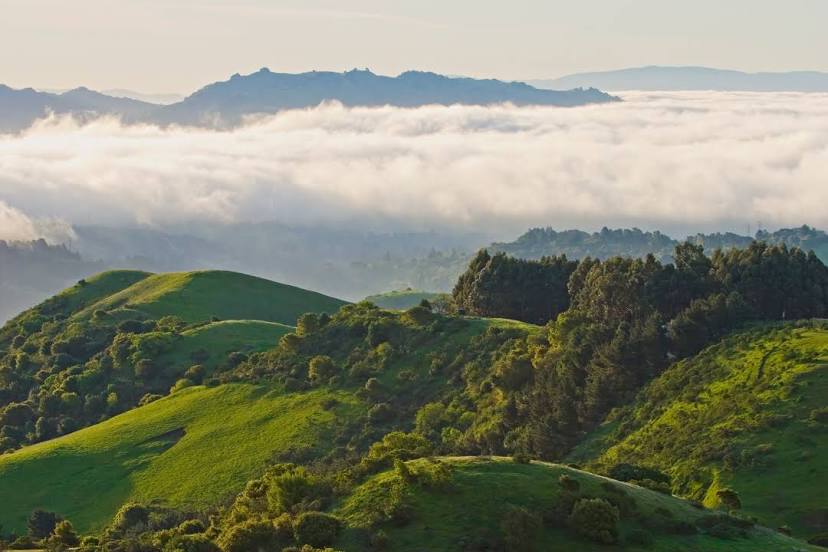
Santa Rosa — Orinda distance, route on the map
Distance by car
Distance between Santa Rosa, California, United States and Orinda, California, United States by car is — km, or miles. To travel this distance by car, you need minute, or h.
Route on the map, driving directions
Car route Santa Rosa — Orinda was created automatically. The road on the map is shown as a blue line. By moving the markers, you can create a new route through the points you need.
Distance by plane
If you decide to take a trip Santa Rosa Orinda by plane, then you have to fly the distance — 78 km or 48 miles. It is marked on the map with a gray line (between two points in a straight line).
Flight time
Estimated flight time Santa Rosa Orinda by plane at cruising speed 750 km / h will be — 6 min.
Direction of movement
United States, Santa Rosa — right-hand traffic. United States, Orinda — right-hand traffic.
Difference in time
Santa Rosa and Orinda are in the same time zone. Between them there is no time difference (UTC -7 America/Los_Angeles).
Interesting Facts
Information on alternative ways to get to your destination.
The length of this distance is about 0.2% of the total length of the equator.
The percentage of the population is clearly shown in the graph:
Santa Rosa — 155,118, Orinda — 17,643 residents (less by 137,475).
The cost of travel
Calculate the cost of the trip yourself using the fuel consumption calculator, changing the data in the table.
Calculate the cost of other distances from the starting point — Santa Rosa.