 Katonah
Elmsford
Mason
Skaneateles Falls
Palisades
West Lafayette
Cadillac
Middletown
Fayetteville
Springfield
Jacksboro
Glendale
Kaufman
Erlanger
Texarkana
Paris
San Francisco
Buhler
Hazard
Katonah
Elmsford
Mason
Skaneateles Falls
Palisades
West Lafayette
Cadillac
Middletown
Fayetteville
Springfield
Jacksboro
Glendale
Kaufman
Erlanger
Texarkana
Paris
San Francisco
Buhler
Hazard
Glenview on the map, United States
Where is located Glenview
Exact location — Glenview, Cook County, Illinois, United States, marked on the map with a red marker.
Coordinates
Glenview, United States coordinates in decimal format: latitude — 42.0697509, longitude — -87.7878408. When converted to degrees, minutes, seconds Glenview has the following coordinates: 42°4′11.1 north latitude and -87°47′16.23 east longitude.
Population
Glenview, Cook County, Illinois, United States, according to our data the population is — 46,539 residents, which is about 0% of the total population of the country (United States).
Comparison of the population on the graph:
Exact time
Time zone for this location Glenview — UTC -5 America/Chicago. Exact time — friday, 4 april 2024 year, 21 h. 44 minutes.
Sunrise and sunset
Glenview, sunrise and sunset data for a date — friday 26.04.2024.
| Sunrise | Sunset | Day (duration) |
|---|---|---|
| 05:55 -2 minutes | 19:41 +1 minute | 13 h. 48 minutes. +3 minutes |
You can control the scale of the map using the auxiliary tools to find out exactly where it is located Glenview. When you change the scale of the map, the width of the ruler also changes (in kilometers and miles).
Nearby cities
The largest cities that are located nearby:
- Chicago — 25 km
- Naperville — 46 km
- Aurora — 56 km
- Joliet — 65 km
- Milwaukee — 108 km
- Rockford — 109 km
- South Bend — 134 km
- Madison — 171 km
- Grand Rapids — 198 km
- Peoria — 214 km
- Fort Wayne — 246 km
- Green Bay — 271 km
- Lansing — 273 km
- Indianapolis — 290 km
- Ann Arbor — 332 km
- Flint — 347 km
- Toledo — 352 km
- Detroit — 389 km
- Windsor
 (Canada) — 389 km
Distance to neighboring capitals:
- Ottawa (Canada) — 1039 km
- Mexico City
 (Mexico) — 2735 km
 - Belmopan
 (Belize) — 2762 km
 - Guatemala City
 (Guatemala) — 3065 km
 - Nuuk
 (Greenland) — 3355 km
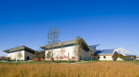
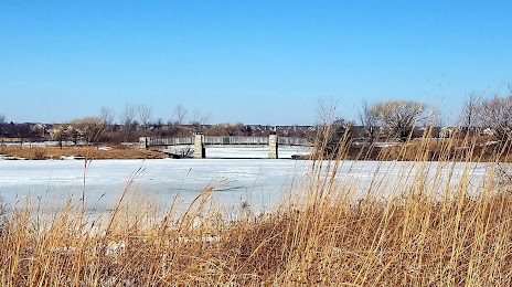
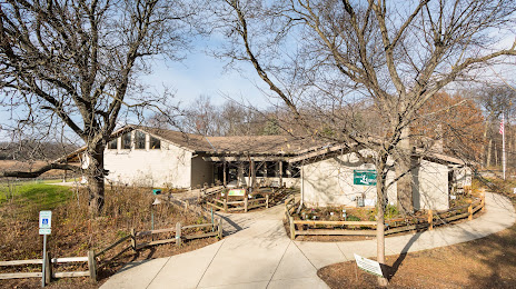
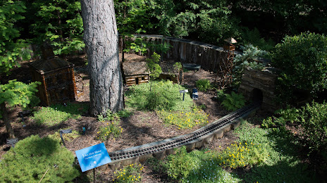
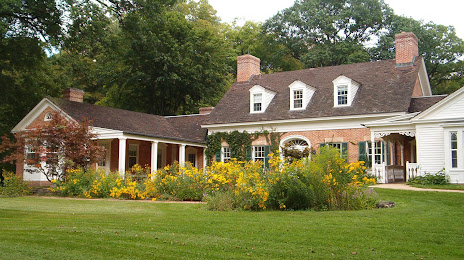
Attractions


Distance to the capital
Distance to the capital (Washington) is about — 974 km.