 Iron Mountain
Crivitz
Elmira
Janesville
Hanford
Oconto
Athens
Mukwonago
Fort Atkinson
Iron River
Orange
Redondo Beach
Norwalk
Cullman
Waller
Los Alamitos
Gardena
Blandon
La Palma
Iron Mountain
Crivitz
Elmira
Janesville
Hanford
Oconto
Athens
Mukwonago
Fort Atkinson
Iron River
Orange
Redondo Beach
Norwalk
Cullman
Waller
Los Alamitos
Gardena
Blandon
La Palma
Oak Creek on the map, United States
Where is located Oak Creek
Exact location — Oak Creek, Milwaukee County, Wisconsin, United States, marked on the map with a red marker.
Coordinates
Oak Creek, United States coordinates in decimal format: latitude — 42.8858503, longitude — -87.8631362. When converted to degrees, minutes, seconds Oak Creek has the following coordinates: 42°53′9.06 north latitude and -87°51′47.29 east longitude.
Population
Oak Creek, Milwaukee County, Wisconsin, United States, according to our data the population is — 34,755 residents, which is about 0% of the total population of the country (United States).
Comparison of the population on the graph:
Exact time
Time zone for this location Oak Creek — UTC -5 America/Chicago. Exact time — friday, 4 april 2024 year, 20 h. 38 minutes.
Sunrise and sunset
Oak Creek, sunrise and sunset data for a date — friday 26.04.2024.
| Sunrise | Sunset | Day (duration) |
|---|---|---|
| 05:54 -2 minutes | 19:43 +1 minute | 13 h. 48 minutes. +3 minutes |
You can control the scale of the map using the auxiliary tools to find out exactly where it is located Oak Creek. When you change the scale of the map, the width of the ruler also changes (in kilometers and miles).
Nearby cities
The largest cities that are located nearby:
- Milwaukee — 17 km
- Chicago — 113 km
- Rockford — 121 km
- Madison — 126 km
- Naperville — 128 km
- Aurora — 130 km
- Joliet — 152 km
- Grand Rapids — 178 km
- Green Bay — 181 km
- South Bend — 189 km
- Lansing — 269 km
- Peoria — 282 km
- Fort Wayne — 302 km
- Flint — 338 km
- Ann Arbor — 344 km
- Indianapolis — 374 km
- Toledo — 381 km
- Sterling Heights — 395 km
- Warren — 397 km
Distance to neighboring capitals:
- Ottawa
 (Canada) — 1010 km
 - Mexico City
 (Mexico) — 2814 km
 - Belmopan
 (Belize) — 2853 km
 - Guatemala City
 (Guatemala) — 3155 km
 - Nuuk
 (Greenland) — 3281 km
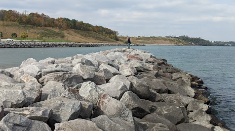
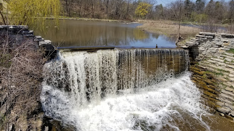
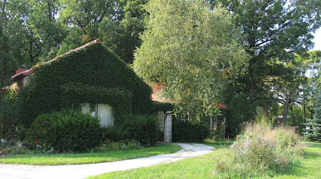
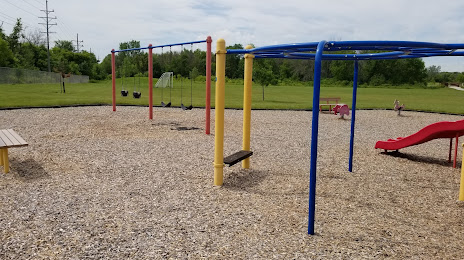
Attractions


Distance to the capital
Distance to the capital (Washington) is about — 1011 km.