 Whitsett
Clemmons
Duffield
Itmann
Fincastle
Hondo
Lithopolis
Salem
Coeburn
Felton
Sikeston
Fredonia
Angola
Grand Island
Belvidere
Warren
Irvine
Corry
Wellsville
Whitsett
Clemmons
Duffield
Itmann
Fincastle
Hondo
Lithopolis
Salem
Coeburn
Felton
Sikeston
Fredonia
Angola
Grand Island
Belvidere
Warren
Irvine
Corry
Wellsville
Mission Viejo on the map, United States
Where is located Mission Viejo
Exact location — Mission Viejo, Orange County, California, United States, marked on the map with a red marker.
Coordinates
Mission Viejo, United States coordinates in decimal format: latitude — 33.6000232, longitude — -117.6719953. When converted to degrees, minutes, seconds Mission Viejo has the following coordinates: 33°36′0.08 north latitude and -117°40′19.18 east longitude.
Population
Mission Viejo, Orange County, California, United States, according to our data the population is — 96,287 residents, which is about 0% of the total population of the country (United States).
Comparison of the population on the graph:
Exact time
Time zone for this location Mission Viejo — UTC -7 America/Los_Angeles. Exact time — friday, 4 april 2024 year, 00 h. 05 minutes.
Sunrise and sunset
Mission Viejo, sunrise and sunset data for a date — friday 26.04.2024.
| Sunrise | Sunset | Day (duration) |
|---|---|---|
| 06:09 -1 minute | 19:27 +1 minute | 13 h. 18 minutes. +2 minutes |
You can control the scale of the map using the auxiliary tools to find out exactly where it is located Mission Viejo. When you change the scale of the map, the width of the ruler also changes (in kilometers and miles).
Nearby cities
The largest cities that are located nearby:
- Irvine — 15 km
- Costa Mesa — 23 km
- Santa Ana — 24 km
- Orange — 27 km
- Huntington Beach — 31 km
- Garden Grove — 31 km
- Corona — 32 km
- Anaheim — 34 km
- Fullerton — 38 km
- Riverside — 47 km
- Norwalk — 50 km
- Pomona — 51 km
- Ontario — 51 km
- Long Beach — 52 km
- Oceanside — 52 km
- Moreno Valley — 55 km
- Rancho Cucamonga — 56 km
- Downey — 57 km
- West Covina — 57 km
Distance to neighboring capitals:
- Mexico City
 (Mexico) — 2419 km
 - Belmopan
 (Belize) — 3407 km
 - Guatemala City
 (Guatemala) — 3452 km
 - Ottawa
 (Canada) — 3784 km
 - Nuuk
 (Greenland) — 5534 km
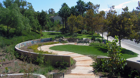
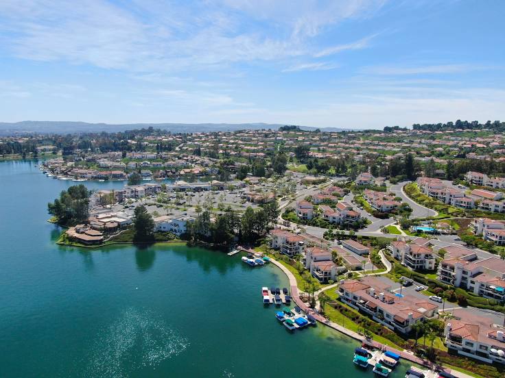
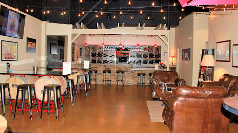
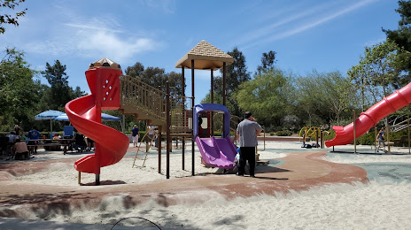
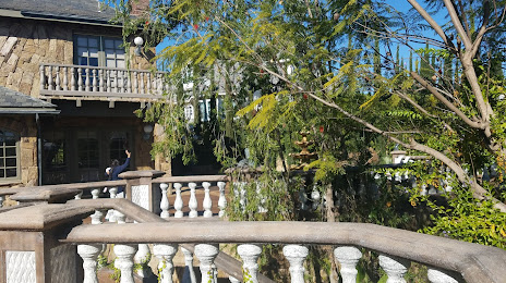
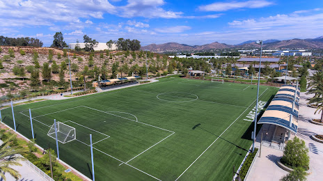
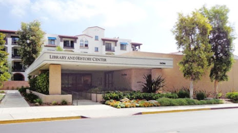
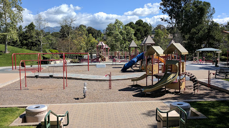
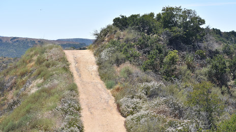
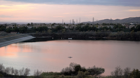
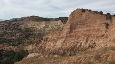
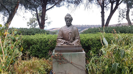
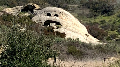
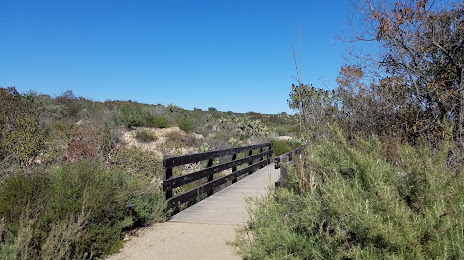
Attractions


Distance to the capital
Distance to the capital (Washington) is about — 3662 km.