 Burlington
Harlingen
Fenwick
Kernersville
Princeton
Radford
Christiansburg
Baker City
Decatur
Mission Viejo
Lake Elsinore
Belton
Rowland Heights
Covina
Buena Park
Malden
Chatham
Kingsburg
Jonesboro
Burlington
Harlingen
Fenwick
Kernersville
Princeton
Radford
Christiansburg
Baker City
Decatur
Mission Viejo
Lake Elsinore
Belton
Rowland Heights
Covina
Buena Park
Malden
Chatham
Kingsburg
Jonesboro
Bluefield on the map, United States
Where is located Bluefield
Exact location — Bluefield, Mercer County, West Virginia, United States, marked on the map with a red marker.
Coordinates
Bluefield, United States coordinates in decimal format: latitude — 37.2698395, longitude — -81.2223195. When converted to degrees, minutes, seconds Bluefield has the following coordinates: 37°16′11.42 north latitude and -81°13′20.35 east longitude.
Population
Bluefield, Mercer County, West Virginia, United States, according to our data the population is — 10,945 residents, which is about 0% of the total population of the country (United States).
Comparison of the population on the graph:
Exact time
Time zone for this location Bluefield — UTC -4 America/New_York. Exact time — friday, 4 april 2024 year, 01 h. 36 minutes.
Sunrise and sunset
Bluefield, sunrise and sunset data for a date — friday 26.04.2024.
| Sunrise | Sunset | Day (duration) |
|---|---|---|
| 06:37 -2 minutes | 20:07 +1 minute | 13 h. 30 minutes. +3 minutes |
You can control the scale of the map using the auxiliary tools to find out exactly where it is located Bluefield. When you change the scale of the map, the width of the ruler also changes (in kilometers and miles).
Nearby cities
The largest cities that are located nearby:
- Winston-Salem — 156 km
- Greensboro — 184 km
- Charlotte — 228 km
- Durham — 251 km
- Cary — 273 km
- Knoxville — 282 km
- Raleigh — 284 km
- Fayetteville — 324 km
- Richmond — 333 km
- Columbus — 333 km
- Cincinnati — 347 km
- Columbia — 362 km
- Pittsburgh — 365 km
- Springfield — 366 km
- Alexandria — 398 km
- Louisville — 409 km
- Akron — 422 km
- Hampton — 431 km
- Norfolk — 439 km
Distance to neighboring capitals:
- Ottawa
 (Canada) — 1017 km
 - Belmopan
 (Belize) — 2346 km
 - Mexico City
 (Mexico) — 2638 km
 - Guatemala City
 (Guatemala) — 2683 km
 - Nuuk
 (Greenland) — 3573 km
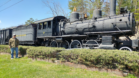
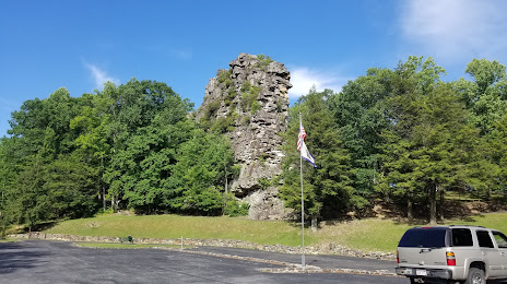
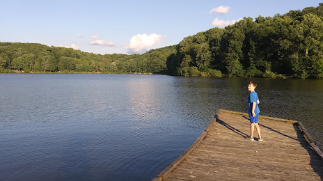
Attractions

Distance to the capital
Distance to the capital (Washington) is about — 409 km.