 Rocky Mount
Salinas
Reedley
Madera
Fort Sill
Fairlee
Chickasha
Auburn
Corcoran Airport
Hondo
Fincastle
Itmann
Duffield
Clemmons
Whitsett
Bluefield
Greenbelt
Miramar Beach
Berkeley Springs
Rocky Mount
Salinas
Reedley
Madera
Fort Sill
Fairlee
Chickasha
Auburn
Corcoran Airport
Hondo
Fincastle
Itmann
Duffield
Clemmons
Whitsett
Bluefield
Greenbelt
Miramar Beach
Berkeley Springs
Radford on the map, United States
Where is located Radford
Exact location — Radford, Virginia, United States, marked on the map with a red marker.
Coordinates
Radford, United States coordinates in decimal format: latitude — 37.1317924, longitude — -80.5764477. When converted to degrees, minutes, seconds Radford has the following coordinates: 37°7′54.45 north latitude and -80°34′35.21 east longitude.
Population
Radford, Virginia, United States, according to our data the population is — 14,117 residents, which is about 0% of the total population of the country (United States).
Comparison of the population on the graph:
Exact time
Time zone for this location Radford — UTC -4 America/New_York. Exact time — friday, 4 april 2024 year, 14 h. 14 minutes.
Sunrise and sunset
Radford, sunrise and sunset data for a date — friday 26.04.2024.
| Sunrise | Sunset | Day (duration) |
|---|---|---|
| 06:35 -1 minute | 20:04 +1 minute | 13 h. 30 minutes. +2 minutes |
You can control the scale of the map using the auxiliary tools to find out exactly where it is located Radford. When you change the scale of the map, the width of the ruler also changes (in kilometers and miles).
Nearby cities
The largest cities that are located nearby:
- Winston-Salem — 118 km
- Greensboro — 136 km
- Durham — 196 km
- Charlotte — 212 km
- Cary — 219 km
- Raleigh — 229 km
- Fayetteville — 277 km
- Richmond — 279 km
- Knoxville — 326 km
- Columbia — 349 km
- Alexandria — 356 km
- Pittsburgh — 369 km
- Hampton — 374 km
- Columbus — 374 km
- Norfolk — 381 km
- Chesapeake — 382 km
- Cincinnati — 402 km
- Virginia Beach — 408 km
- Springfield — 413 km
Distance to neighboring capitals:
- Ottawa
 (Canada) — 1008 km
 - Belmopan
 (Belize) — 2352 km
 - Mexico City
 (Mexico) — 2669 km
 - Guatemala City
 (Guatemala) — 2691 km
 - Nuuk
 (Greenland) — 3565 km
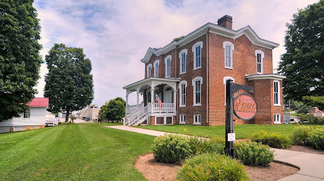
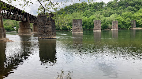
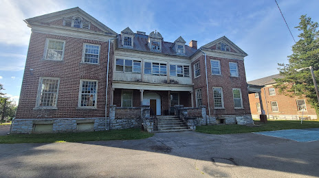
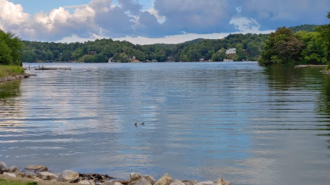
Attractions


Distance to the capital
Distance to the capital (Washington) is about — 368 km.