 Santa Cruz
Robertsdale
Sparks
Painesville
Kodiak
Ketchikan
Barrow
Florham Park
Moosic
Georgetown
Weaverville
Genoa
Arbuckle
Zephyr Cove
Brooks
Incline Village
Davis
Redding
Arcadia
Santa Cruz
Robertsdale
Sparks
Painesville
Kodiak
Ketchikan
Barrow
Florham Park
Moosic
Georgetown
Weaverville
Genoa
Arbuckle
Zephyr Cove
Brooks
Incline Village
Davis
Redding
Arcadia
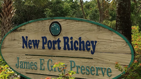
New Port Richey on the map, United States
Where is located New Port Richey
Exact location — New Port Richey, Pasco County, Florida, United States, marked on the map with a red marker.
Coordinates
New Port Richey, United States coordinates in decimal format: latitude — 28.2441768, longitude — -82.7192671. When converted to degrees, minutes, seconds New Port Richey has the following coordinates: 28°14′39.04 north latitude and -82°43′9.36 east longitude.
Population
New Port Richey, Pasco County, Florida, United States, according to our data the population is — 17,154 residents, which is about 0% of the total population of the country (United States).
Comparison of the population on the graph:
Exact time
Time zone for this location New Port Richey — UTC -4 America/New_York. Exact time — friday, 4 april 2024 year, 20 h. 29 minutes.
Sunrise and sunset
New Port Richey, sunrise and sunset data for a date — friday 26.04.2024.
| Sunrise | Sunset | Day (duration) |
|---|---|---|
| 06:56 -1 minute | 20:00 +1 minute | 13 h. 6 minutes. +2 minutes |
You can control the scale of the map using the auxiliary tools to find out exactly where it is located New Port Richey. When you change the scale of the map, the width of the ruler also changes (in kilometers and miles).
Nearby cities
The largest cities that are located nearby:
- Clearwater — 32 km
- Tampa — 41 km
- Saint Petersburg — 53 km
- Brandon — 54 km
- Orlando — 134 km
- Gainesville — 160 km
- Cape Coral — 201 km
- Jacksonville — 252 km
- Port Saint Lucie — 256 km
- Tallahassee — 285 km
- Coral Springs — 326 km
- Pembroke Pines — 345 km
- Miramar — 346 km
- Fort Lauderdale — 347 km
- Hollywood — 355 km
- Hialeah — 359 km
- Miami — 372 km
- Savannah — 451 km
- Havana
 (Cuba) — 564 km
Distance to neighboring capitals:
- Belmopan
 (Belize) — 1370 km
 - Guatemala City
 (Guatemala) — 1717 km
 - Mexico City
 (Mexico) — 1933 km
 - Ottawa
 (Canada) — 2008 km
 - Nuuk
 (Greenland) — 4558 km
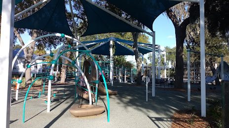
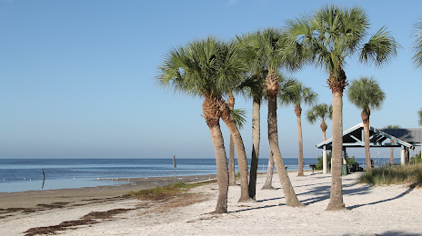
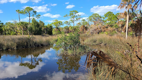
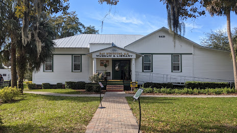
Attractions


Distance to the capital
Distance to the capital (Washington) is about — 1297 km.