Wright City — Joubert
Wright City — Saint Anthony
Wright City — East Greenbush
Wright City — Chaffee
Wright City — Mondamin
Wright City — Dumas
Wright City — Montesano
Wright City — Gibson
Wright City — Brussels
Wright City — Moon
Wright City — Gypsum
Wright City — Schurz
Wright City — Grantsville
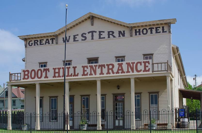
Wright City — Arkansas City
Wright City — Arjay
Wright City — Harveysburg
Wright City — Kingston Springs
Wright City — East Smithfield
Wright City — Bradenton Beach
Warrenton
Jonesburg
New Florence
Kingdom City
Columbia
Rocheport
Lamine Township
Blackwater
Sweet Springs
Emma
Mayview
Bates City
Grain Valley
Blue Springs
Independence
Independence
Kansas City
Kansas City
Bonner Springs
Tonganoxie
Lawrence
Topeka
Berryton
Willard
Paxico
Junction City
Solomon
Salina
Saline County
Kanopolis
Lorraine
Holyrood
Claflin
Great Bend
Pawnee Rock
Larned
Kinsley
Spearville
Wright City — Joubert
Wright City — Saint Anthony
Wright City — East Greenbush
Wright City — Chaffee
Wright City — Mondamin
Wright City — Dumas
Wright City — Montesano
Wright City — Gibson
Wright City — Brussels
Wright City — Moon
Wright City — Gypsum
Wright City — Schurz
Wright City — Grantsville
Wright City — Arkansas City
Wright City — Arjay
Wright City — Harveysburg
Wright City — Kingston Springs
Wright City — East Smithfield
Wright City — Bradenton Beach
Warrenton
Jonesburg
New Florence
Kingdom City
Columbia
Rocheport
Lamine Township
Blackwater
Sweet Springs
Emma
Mayview
Bates City
Grain Valley
Blue Springs
Independence
Independence
Kansas City
Kansas City
Bonner Springs
Tonganoxie
Lawrence
Topeka
Berryton
Willard
Paxico
Junction City
Solomon
Salina
Saline County
Kanopolis
Lorraine
Holyrood
Claflin
Great Bend
Pawnee Rock
Larned
Kinsley
Spearville
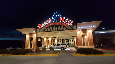
Wright City — Dodge City distance, route on the map
Distance by car
Distance between Wright City, Missouri, United States and Dodge City, Kansas, United States by car is — km, or miles. To travel this distance by car, you need minute, or h.
Route on the map, driving directions
Car route Wright City — Dodge City was created automatically. The road on the map is shown as a blue line. By moving the markers, you can create a new route through the points you need.
Passing cities through which the car route passes: Truesdale, Warrenton, Jonesburg, New Florence, Kingdom City, Columbia, Rocheport, Lamine Township, Blackwater, Sweet Springs, Emma, Mayview, Bates City, Grain Valley, Blue Springs, Independence, Independence, Kansas City, Kansas City, Bonner Springs, Tonganoxie, Lawrence, Topeka, Berryton, Willard, Paxico, Junction City, Solomon, Salina, Saline County, Kanopolis, Lorraine, Holyrood, Claflin, Great Bend, Pawnee Rock, Larned, Kinsley, Spearville.
Distance by plane
If you decide to take a trip Wright City Dodge City by plane, then you have to fly the distance — 794 km or 492 miles. It is marked on the map with a gray line (between two points in a straight line).
Flight time
Estimated flight time Wright City Dodge City by plane at cruising speed 750 km / h will be — 1 h. and 3 min.
Direction of movement
United States, Wright City — right-hand traffic. United States, Dodge City — right-hand traffic.
Difference in time
Wright City and Dodge City are in the same time zone. Between them there is no time difference (UTC -5 America/Chicago).
Interesting Facts
Information on alternative ways to get to your destination.
The length of this distance is about 2.0% of the total length of the equator.
The percentage of the population is clearly shown in the graph:
Wright City — 2,156 (less by 23,776), Dodge City — 25,932 residents.
The cost of travel
Calculate the cost of the trip yourself using the fuel consumption calculator, changing the data in the table.