 Brook Park
Mayfield Heights
Ashtabula
Seaford
Healdsburg
Redway
Daytona Beach
Saint Helena
Clearlake
Bad Axe
Fenton
Mount Clemens
Hico
Eureka Airport
Lee County
Twinsburg
Portland
Sudbury
Grass Valley
Brook Park
Mayfield Heights
Ashtabula
Seaford
Healdsburg
Redway
Daytona Beach
Saint Helena
Clearlake
Bad Axe
Fenton
Mount Clemens
Hico
Eureka Airport
Lee County
Twinsburg
Portland
Sudbury
Grass Valley
Carrollton on the map, United States
Where is located Carrollton
Exact location — Carrollton, Dallas County, Texas, United States, marked on the map with a red marker.
Coordinates
Carrollton, United States coordinates in decimal format: latitude — 32.9756415, longitude — -96.8899636. When converted to degrees, minutes, seconds Carrollton has the following coordinates: 32°58′32.31 north latitude and -96°53′23.87 east longitude.
Population
Carrollton, Dallas County, Texas, United States, according to our data the population is — 120,792 residents, which is about 0% of the total population of the country (United States).
Comparison of the population on the graph:
Exact time
Time zone for this location Carrollton — UTC -5 America/Chicago. Exact time — friday, 4 april 2024 year, 06 h. 40 minutes.
Sunrise and sunset
Carrollton, sunrise and sunset data for a date — friday 26.04.2024.
| Sunrise | Sunset | Day (duration) |
|---|---|---|
| 06:47 -1 minute | 20:03 +1 minute | 13 h. 18 minutes. +2 minutes |
You can control the scale of the map using the auxiliary tools to find out exactly where it is located Carrollton. When you change the scale of the map, the width of the ruler also changes (in kilometers and miles).
Nearby cities
The largest cities that are located nearby:
- Richardson — 15 km
- Plano — 18 km
- Irving — 19 km
- Frisco — 20 km
- Dallas — 24 km
- Garland — 24 km
- Grand Prairie — 27 km
- Arlington — 33 km
- Denton — 35 km
- Mesquite — 36 km
- Fort Worth — 48 km
- Waco — 160 km
- Wichita Falls — 180 km
- Killeen — 220 km
- Norman — 253 km
- Abilene — 272 km
- Oklahoma City — 281 km
- Shreveport — 297 km
- Austin — 310 km
Distance to neighboring capitals:
- Mexico City
 (Mexico) — 1523 km
 - Belmopan
 (Belize) — 1929 km
 - Guatemala City
 (Guatemala) — 2141 km
 - Ottawa
 (Canada) — 2280 km
 - Nuuk
 (Greenland) — 4628 km
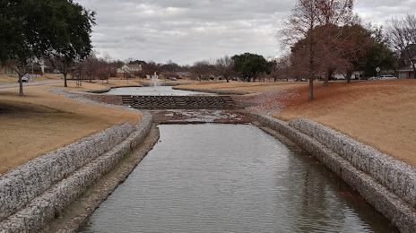
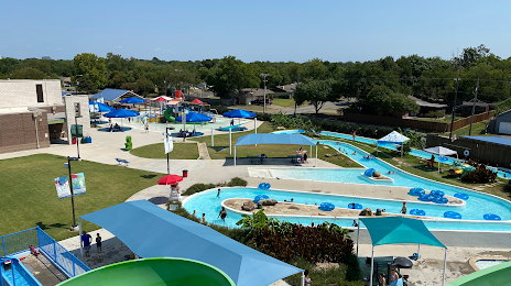
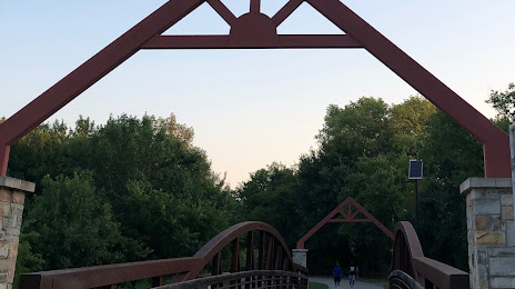
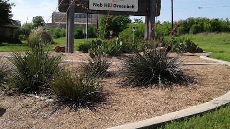
Attractions


Distance to the capital
Distance to the capital (Washington) is about — 1901 km.